October 7th 2023 Gaza Border Communities Remembrance Self-Guided Driving Tour
About this English self-guided 2h:30m driving tour in Western Negev
Welcome to this digital driving tour of the western Negev and the Gaza border region (Gaza Envelope), following the events of October 7, 2023.
My name is Avi Shalev. I am a Lieutenant Colonel in the reserves, having served for 24 years in the Israel Defense Forces, including positions in military intelligence and the Civil Administration in Judea, Samaria, and Gaza. I am also the author of The Only Jew in the Room, a memoir documenting my experience as the first Jew to enroll in an Arab Islamic college in Israel — a book now being adapted for the stage at the Haifa Theater.
This tour is a journey through places that became symbols of trauma, courage, loss, and memory after the deadliest terrorist massacre against Jews since the Holocaust. On October 7, 2023, approximately 1,200 Israelis were murdered and around 250 people were abducted into Gaza. As we drive through this landscape, we will encounter communities that were attacked, roads on which civilians were hunted and killed, and memorial sites that preserve the stories of those who lost their lives.
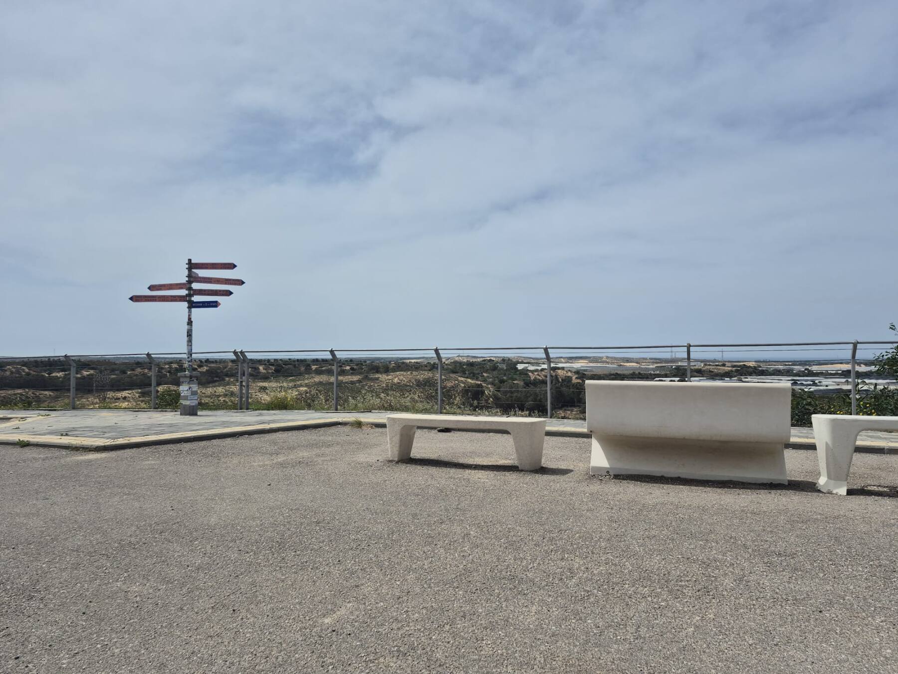
Our tour is a driving tour. It begins at Yad Mordechai Junction and ends in the city of Sderot. Along the way, we will visit Netiv HaAsara, the Observation Point of the Female Lookouts, travel along Route 232 — known today by many as the “Road of Blood” — stop at the protected shelter near Sha’ar HaNegev Junction, continue to the Nova Festival memorial site and the burnt vehicles installation, and conclude in Sderot, at the site of the battle over the city’s police station.
At the end of the tour, we will also stop at a local vegetarian restaurant in Sderot, known for its excellent hummus — a small but meaningful reminder that even in places marked by pain, life continues, communities endure, and hospitality remains.
This is not only a geographical journey. It is also a journey into the events of that day, into the human stories behind the headlines, and into the resilience of the people of the western Negev.
- Category
- Language
- Mode
- Region
- Country
- City