North County San Diego Self-Guided (GPS) Audio Driving Tour, California - Where to live tour
About this English self-guided 46m driving tour in San Diego
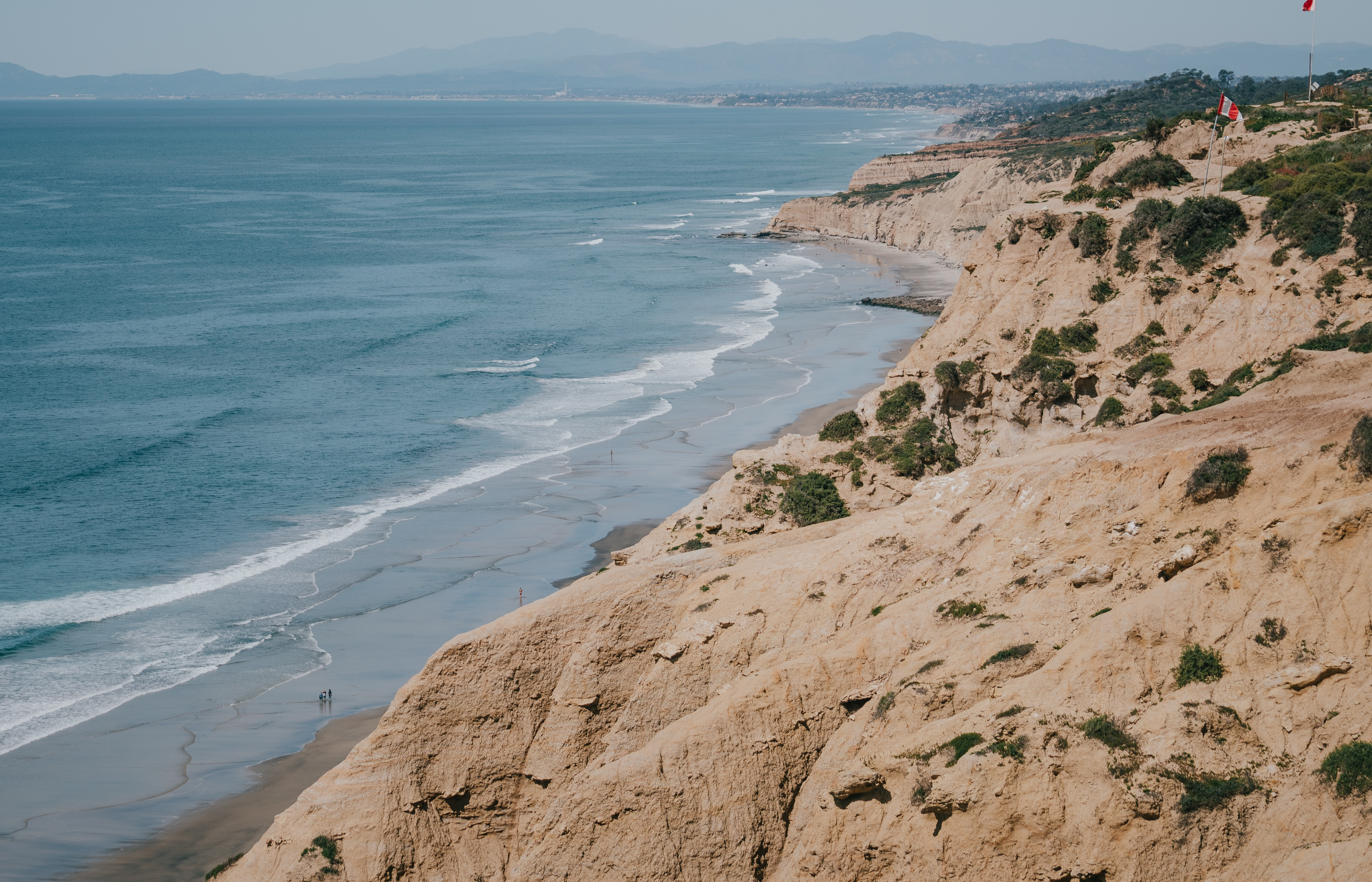
Hello, and welcome to this UCPlaces tour of San Diego County’s beautiful northern coast. My Name is Stephen, and I’m excited to take you on a drive down highway 101. Before we get started, I'd first like to introduce you to our local expert Realtor Rhonda Hebert.
Rhonda is an award winning Realtor and manages the day-to-day operations of her team. She has over 17 years experience in helping clients purchase and sell homes all over San Diego county. Her priority is providing superior service to her clients in a professional and stress-free environment. She has received the Circle of Excellence award and top producer awards, placing her in the top 5% of San Diego Realtors. Her expertise, commitment, integrity and professionalism are highly regarded by her clients, as a majority of Rhonda’s business comes from repeat clients and referrals. When you’re ready to start the process of finding your dream home in San Diego County, give Rhonda a call at (858) 945-0644 or send her an email at rhondahebertrealty@gmail.com.
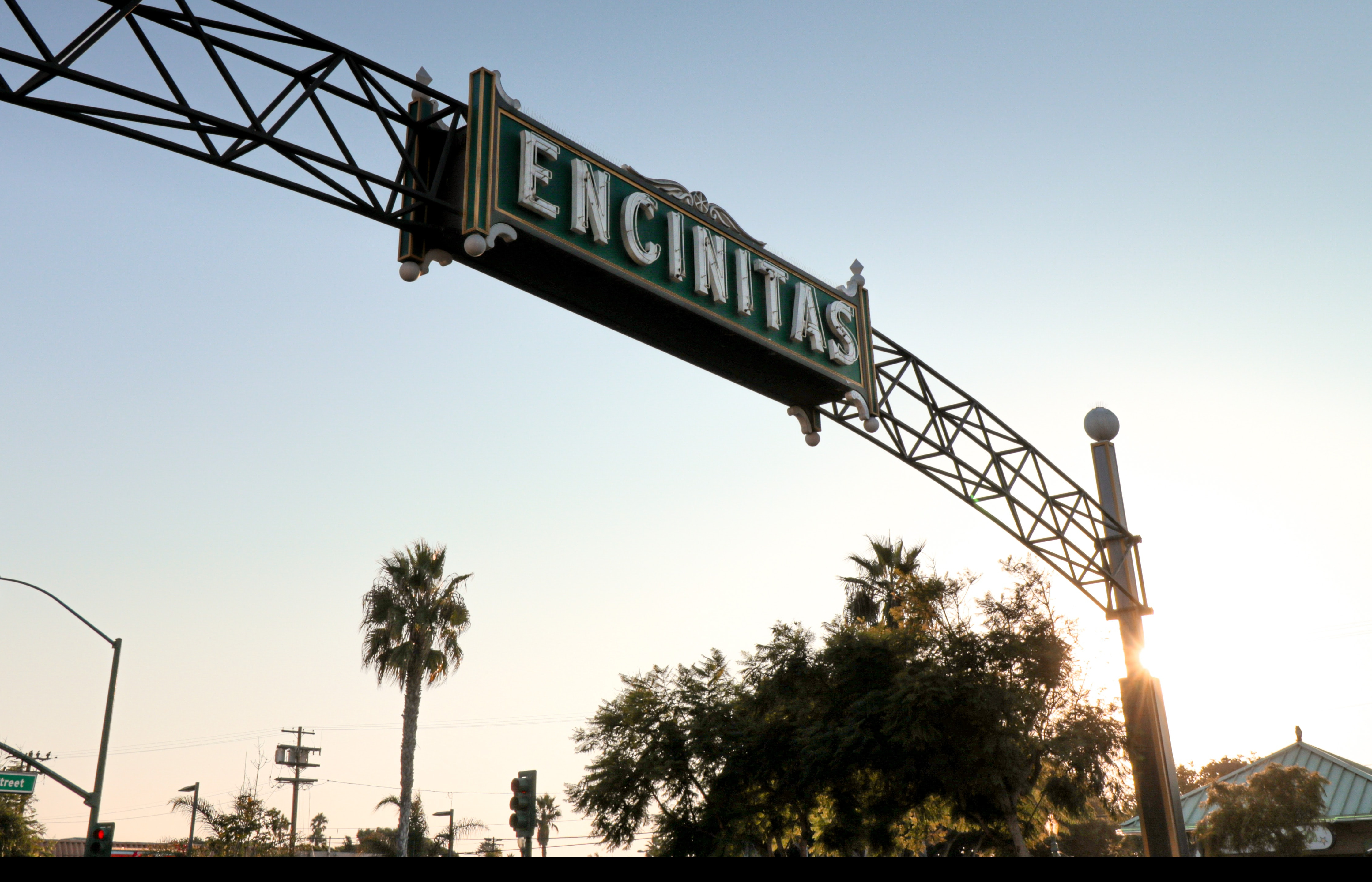
All right, let’s get started with the tour! We’ll begin our journey at the northernmost point and work our way down into San Diego. Follow the GPS directions to Moonlight State Beach in Encinitas.
- Category
- Language
- Region
- Country
- City