

Fargo's Best: Self-Guided Driving Tour of Main Sites & Iconic Landmarks
About this English self-guided 2h:29m driving tour in Fargo
Welcome to Fargo, North Dakota! You’re about to explore one of America’s most surprising and spirited cities — a place where prairie history, creativity, and good old Midwestern warmth come together in a way you won’t find anywhere else.
Fargo began humbly in the 1870s as a railroad town on the edge of the Red River. Back then, it was all wooden sidewalks, muddy streets, and saloons filled with railway workers and farmers from the nearby bonanza farms — the enormous wheat operations that helped build the region’s economy. But over time, this small frontier outpost grew into the largest city in North Dakota — a cultural hub filled with universities, festivals, and a growing art and tech scene.
The city’s identity has always been shaped by its environment — wide-open skies, endless prairie, and the Red River that flows north right along the Minnesota border. The river brought trade, connection, and a few floods along the way, but it also gave Fargo its name and its heart.
Today, you’ll see how the city blends old and new — from historic downtown buildings and iconic landmarks like the Fargo Theatre, to innovative projects like the Fargo Air Museum, NDSU’s research campus, and The Fargo Project, where art and nature meet. You’ll even discover the lighter side of the city — yes, including the famous movie woodchipper that made Fargo a household name.
As we drive, you’ll notice that Fargo is more than just a dot on the map — it’s a city that celebrates community, creativity, and resilience. Whether you’re here for the history, the art, the food, or just a friendly smile, you’ll find all of it here on the prairie.
So get comfortable, follow the navigation, and let’s start our journey right here — by the Riverside Gardens and the Red River, where Fargo’s story began.
- 1For the best experience, begin at the tour's recommended starting point and follow the stops in order.
- 2Want to start somewhere else? Simply use Start At on the tour screen, before tapping Start Tour, to begin from any stop.
- 3Need to detour or skip a stop along the way? Tap Tour Assistant (
![UCPlaces AI Bot Icon]() ) to use Force Play, Skip, and Back, for full flexibility.
 ) to use Force Play, Skip, and Back, for full flexibility.
Route Preview
- Category
- Language
- Mode
- Region
- Country
- City

Places (POIs) visited during this tour

203 4th Ave N, Fargo, ND 58102, USA
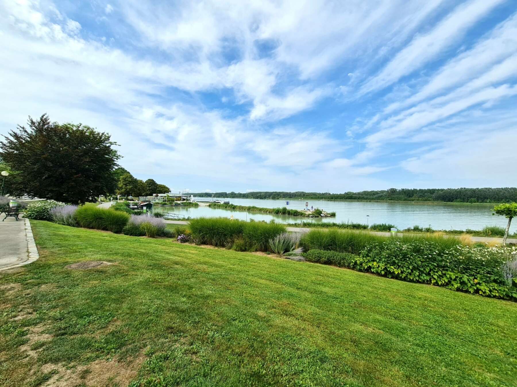
As you continue, look to your right for the Fargo City Hall, the heart of local government and a symbol of the city’s forward-thinking spirit. It’s here where many of Fargo’s community projects and civic celebrations begin.
Take a deep breath — you’re right at the meeting point of two states, two histories, and one welcoming Midwestern vibe. Let’s get started exploring Fargo!
100 2nd St S, Fargo, ND 58103, USA
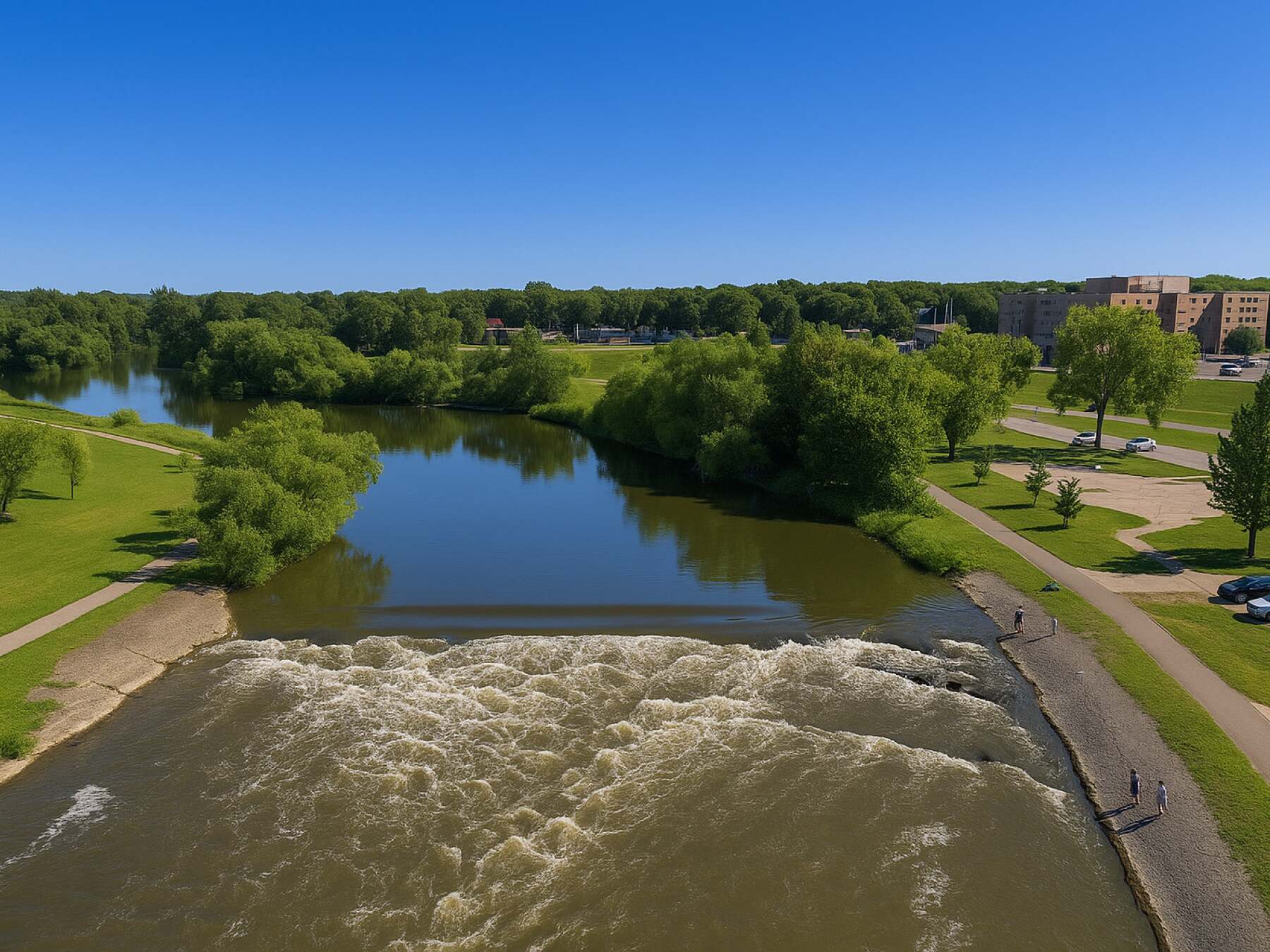
The river’s name comes from the reddish-brown silt it carries, rich with clay and minerals left behind by ancient glaciers that once covered this entire valley. Early fur traders and settlers used it as a vital transportation route, linking communities and trading posts long before roads or railways arrived.
Today, it’s more peaceful — a scenic backdrop for parks, trails, and fishing spots that stretch along both sides of the border. As you drive through Fargo, the Red River is a constant companion — a reminder of the natural beauty and resilience that define life here on the plains.
Place 1
Welcome to Fargo!
Place 2
The Red River — A Natural Border and Lifeline
Place 3
Historic Island Park
Place 4
The Gregg Shorthand School and the BNSF Railway — Where Words and Wheels Built a City
Place 5
Plains Art Museum — Where Creativity Meets the Prairie
Place 6
The Hotel Donaldson — Fargo’s Artsy Landmark
Place 7
Fargo Public Library — Knowledge on the Prairie
Place 8
Vibrant Broadway Square
Place 9
Historic Fargo Theatre
Place 10
Fun Facts About Fargo — The Surprising Side of the Plains
Place 11
North Dakota State University (NDSU)
Place 12
NDSU Old Main
Place 13
The Bison Statue — Strength of the Plains
Place 14
Albrecht Boulevard - The heart of North Dakota State University
Place 15
Fargodome — Where Fargo Roars
Place 16
Fargo Air Museum
Place 17
Bonanzaville, U.S.A. — A Walk Through Pioneer History
Place 18
The Iconic Woodchipper — Fargo’s Most Famous Movie Prop
Place 19
Red River Zoo — A Wild Farewell from Fargo