
Places (POIs) visited during this tour
Place #1
Recommended Starting Point
Distance: 0.00mi
, Attraction : Neighborhood
201 Martina St, Richmond, CA 94801, USA

Point Richmond
Welcome to Point Richmond, known to locals simply as “The Point” Point Richmond was originally a tiny village known as East Yards, surrounded by abandoned farmlands. As the East side of the bay grew from the late 19th century to the early 20th century, this area on the coast became the town center of Richmond. As the town expanded, a planned downtown area supplanted the Point as the busiest part of town. These days, the historic buildings on Richmond and Washington Avenues are occupied by locally-owned shops and restaurants, offering neighborhood residents a walkable town center without having to cross the freeway.
As you cruise through town, you’ll pass the Santa Fe Market, a locally-owned grocer, on your left. The residents of Point Richmond pride themselves on hosting locally-owned businesses. You won’t find a Starbucks in this part of town, but you can stop by Kaleidoscope Coffee for a pick-me-up and a chat with the neighbors. If you’re in the mood for a stronger libation, the Up and Under Pub, in the upcoming red building on your left, is the local watering hole. They also host parties in their rentable banquet room and cater events throughout the town.
You’ll pass a different sort of “watering hole” as you make a right onto Garrard Boulevard. The Richmond Plunge is the local swim club that originally opened in 1926, and underwent a nine-year renovation from 2001 to 2010. The indoor heated pool is the size of two standard Olympic lap pools!
Once you’re on Garrard, you’ll head through the Point Richmond Tunnel out onto the peninsula that gives the town its name. The tunnel has been here for over a hundred years, built in the early 1900s to link Point Richmond with the ferry pier at the end of the peninsula. Although the north end of the tunnel is a lively neighborhood, the other side is quite the opposite. Head on through to the Miller Knox Regional Shoreline to see what I mean.
Read More
Place #2
Distance: 0.81mi
, Attraction : Park
818 Dornan Dr, Richmond, CA 94801, USA
Miller Knox Regional Shoreline
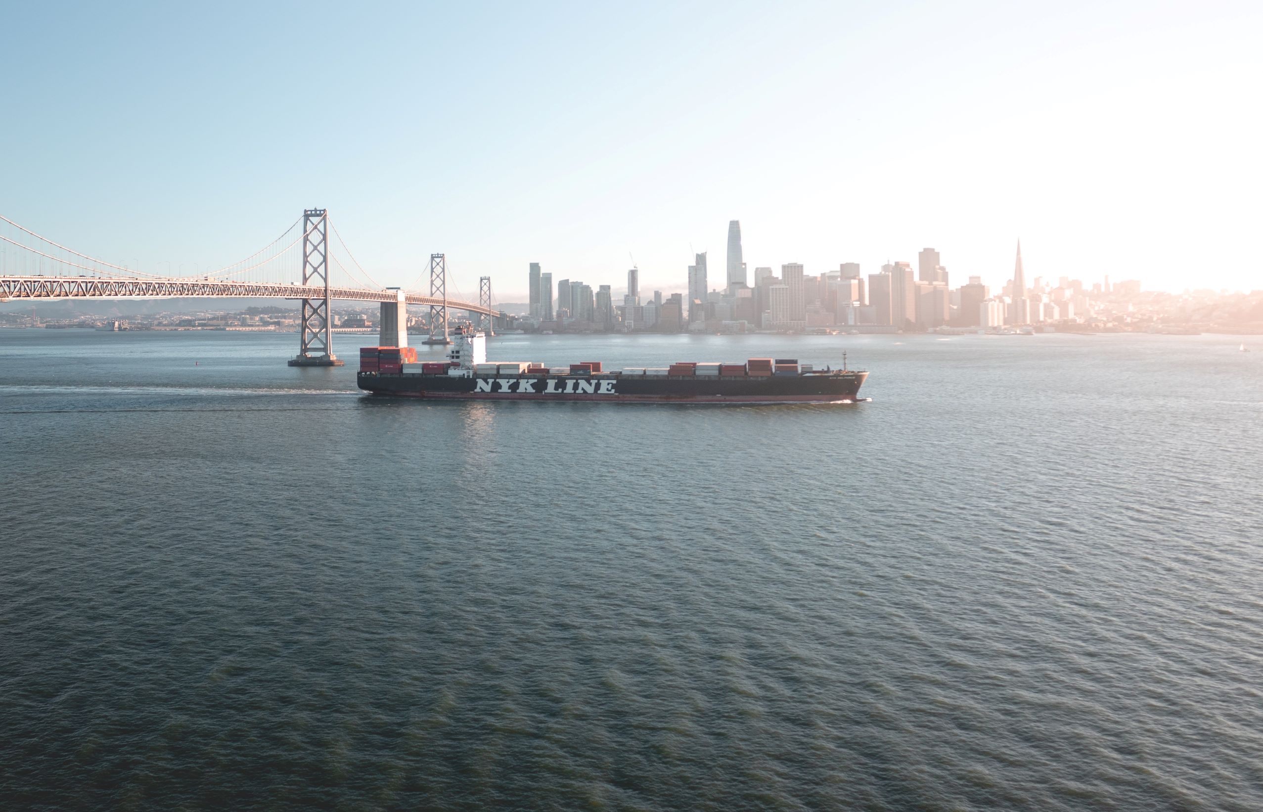
The 307 acres of Miller Knox Regional Shoreline occupy the southern end of Point Richmond, with tons of space for hiking, cycling, and picnics. On the right side of the road lies Miller Knox Lagoon, a man-made lake that was dug as a quarry during World War Two. Richmond was a principal center of manufacturing during that time, and the war effort ramped up production. I’ll tell you a little more about that period a bit farther down the road.
Another fun spot to see in the park is the Golden State Model Railroad Museum on your left. Richmond was, and still is, a major terminal for freight rail, with the Santa Fe train yards still operating today. In fact, it was the rail company that built the tunnel you drove through earlier, to make accessing the ferry easier for its employees in town. The Model Railroad Museum celebrates the history of rail travel in America, from its vital importance in connecting the coasts back in the 19th century to its benefits for freight transit in the modern day. Though the Museum is only 40 years old, the model train society that runs it has been together since 1930!
At the end of the park is an area called Brickyard Cove, which, unsurprisingly, used to be home to the Richmond Brick Company. Many of the brick buildings along the east bay were supplied with materials from this very site. Today, however, Brickyard Cove is home to the Richmond Yacht Club and Richmond Boardwalk, where the area’s boat enthusiasts make port. The hills above have been transformed into residential communities, where the homes offer stunning sunset views across the bay.
Keep following this road through those neighborhoods to get a good glimpse of residential life in this part of town. Further along, you’ll take canal road past the railyards and through an industrial area before arriving at the next neighborhood on our tour.
Read More
Tour itinerary stops | Additional places you'll see on this self-guided tour
Click below for full access to this tour
Have any questions about this tour? Or a general travel / self-guided tours question? That's completely natural
+ How long does this tour take?
Most travelers complete this tour in approximately 1 to 1.5 hours, depending on pace, time spent at each stop, and optional detours. Having said that, please remember that self-guided tours are extremly flexible (you can start, pause, continue anytime) and everyone has their own pace.
+ What does this tour include?
This self-guided driving tour includes 11 stops, covering top attractions such as Point Richmond, Miller Knox Regional Shoreline, Rosie the Riveter State Park, Marina Bay, Kensington.
+ Where does the tour start?
The tour starts at Point Richmond (Address: 201 Martina St, Richmond, CA 94801, USA). You can begin the tour there or join from any stop along the route.
+ What type of tour is this?
This is a self-guided driving tour designed to be completed by car, covering scenic routes, city highlights and optional key stops.
+ Can I do this tour at my own pace?
Yes, this is a self-guided driving tour, so you can start anytime and explore at your own pace. You can pause, skip stops, or spend more time at places that interest you. You can even split it into multiple days. Explore however feels right for you. The only vaiables that might affect your pace are speed limits and traffic congestion.
+ Do I need a car for this tour?
Yes, this is a driving tour, designed to be completed by car, with stops spread across different locations connected by a driving route.
+ Do I need anything in order to take the tour?
There are two things that you need - 1. A mobile phone (with the UCPlaces app installed and active location services, and a cellular data plan with a decent signal for downloading the tour). 2. A car. Here are some recommendations for a great experience: 1. Make sure your phone is fully charged and bring a charging cable for your car. 2. Connect your phone to the car speaker system via bluetooth or use our CarPlay/Android Auto option for the best experience.
+ How will I navigate from point to point during the tour?
The tour uses GPS-based navigation through the UCPlaces app, with automatic audio playback and step-by-step directions between stops. This works great either directly from your phone, or while connected to your car's multimedia system and using our CarPlay or Android Auto options. Just follow the route and listen to the audio guide. Use the resume feature to continue from where you recently stopped (or closed the app). Easily skip or go back to stops.
+ Is this tour suitable for families or groups?
Yes, self-guided tours are ideal for families and small groups, allowing everyone to explore comfortably without being tied to a fixed schedule.
+ What makes a self-guided tour better than a guided tour?
Self-guided tours are more flexible, affordable, and personalized. You can avoid crowds, choose your pace, and focus on the stops that interest you most.
+ I installed the app and it's now asking for GPS and media access permissions, why?
The app is your tour-guide, it needs to know where you are located on the map to be able to trigger the points of interest. It also needs access to audio and media files to provide you with this experience.
+ What happens if there are unexpected roadblocks or navigation issues?
We have been working hard to deliver a great experience. Though you may run into unexpected obstacles (the world is constantly changing), our app has multiple features and mechanisms in place to help you overcome them, including: AI assistance, force play an audio if you can't reach the stop, skip or return to stops, automatic rerouting and more.
+ Can I take the tour in my language?
Though all of our tours are primarily in English, many tours are muyltilingual (including: Spanish, German, Portuguese, French, Japanese, Hebrew, French, Arabic and more...). The tour language options depend on the specific tour - You can easily check which languages are available in the tour screen!
) to use Force Play, Skip, and Back, for full flexibility.