About this English self-guided 49m driving tour in Oakland
Hello, and welcome to this UCPlaces tour of Berkeley! My name is Stephen, and today I’ll be showing you all around town, including some of the best restaurants, neighborhoods, and parks the city has to offer. Before we get started, let me introduce you to the sponsor of today’s tour, our local expert Realtor Barbara Brodrick.
Barbara Brodrick has been a resident of the Bay area for over 45 years. During that time she has moved between San Francisco, Oakland, Sunnyvale, and San Jose, which has given her a unique and knowledgeable perspective on the diverse neighborhoods of the Bay Area.
The hallmark of Barbara's career has been customer service. She has consistently been recognized and has received corporate awards for delivering the highest level of customer service to her clients. She brings this work ethic, dedication, and commitment to each Real Estate transaction and each of her clients.
If today’s tour inspires you to start your search for a home in Berkeley or anywhere else in Alameda and Contra Costa Counties, give Barbara a call at 925-403-1213. You can also reach her via email at barbara@thebrodrickgroup.com.
All right, let’s get started with the tour! We’ll begin by heading up College Avenue, which connects Oakland’s Rockridge Neighborhood with the Claremont and Elmwood Neighborhoods of Berkeley.
Distance: 1.36mi
, Attraction : Shops and Restaurants
College Av & Chabot Rd, Oakland, CA 94618, USA
College Avenue
Welcome to Berkeley! You’ve just crossed over the border from Oakland’s Rockridge neighborhood. If you want to learn more about Rockridge and the other neighborhoods in north and east Oakland, check out our tour of the Grand Lake Area!
This southeasternmost neighborhood of Berkeley is called Claremont, characterized by wide tree-lined streets and two-story single-family homes. Claremont Avenue, which runs northeast from here, was once the route of the first telegraph wire that ran to Oakland. At the top of Claremont Avenue, where the road enters Claremont Canyon, you’ll find the Claremont Hotel, which opened in 1915 and serves as a spa and destination resort to this day.
The road you’re currently on, College Avenue, is a great part of town to start in, with its mixture of residential blocks and commercial areas giving a good general idea of life in Berkeley.
Coming up, a small shopping center marks the center of the neighborhood called Elmwood. It’s here you’ll find the local cinema, one of Timeless Coffee’s three locations, and a couple of popular Bay Area chains, like Gordo Taqueria and House of Curries.
Crossing over Ashby Avenue, you’ll pass Vintage Berkeley on the right. This small boutique wine shop sells bottles from around the world, including rare and limited-production bottles. Wine lovers should definitely stop in for a look at their wares.
Another standout among College Avenue’s many storefronts is Mrs. Dalloway’s, a cozy bookstore where you can find all the latest titles. They hold book signings and events with local and touring authors. Mrs. Dalloway’s is also committed to helping expand young minds – their “Little Library'' program curates monthly board books, picture books, and chapter books for Berkeley's youngest readers.
We’re continuing down College Avenue until we get to Haste Street, which will take us through the neighborhood known as Southside.
Towle Hall, 2650 Haste St, Berkeley, CA 94720, USA
Haste Street
One of Berkeley’s most famous landmarks is coming up on your left. People’s Park was created during the 1960s when Berkeley was central to the political activism that marked that decade. When the University of California, using eminent domain, bought this city block in Southside, they evicted over 200 residents and tore down the houses they’d occupied.
However, before the university could proceed to build anything on the site, the people of Berkeley set to work, laying sod, erecting art installations, and landscaping the barren lot. Though the newly-formed People’s Park Committee had actually entered talks with the University to officially dedicate the land as park space, then-Governor Ronald Reagan had already made moves to shut the operation down. At 4:45 AM on May 15, 1969, riot police forcibly cleared the park, kicking off a series of confrontations that killed one bystander and permanently blinded another.
Today, People’s Park is still the city’s center for counter-culture. The community gardens host “work parties”, and people gather for concerts and art performances in the park. The community even operates a “Free Clothing Box” where neighbors donate used items for those in need.
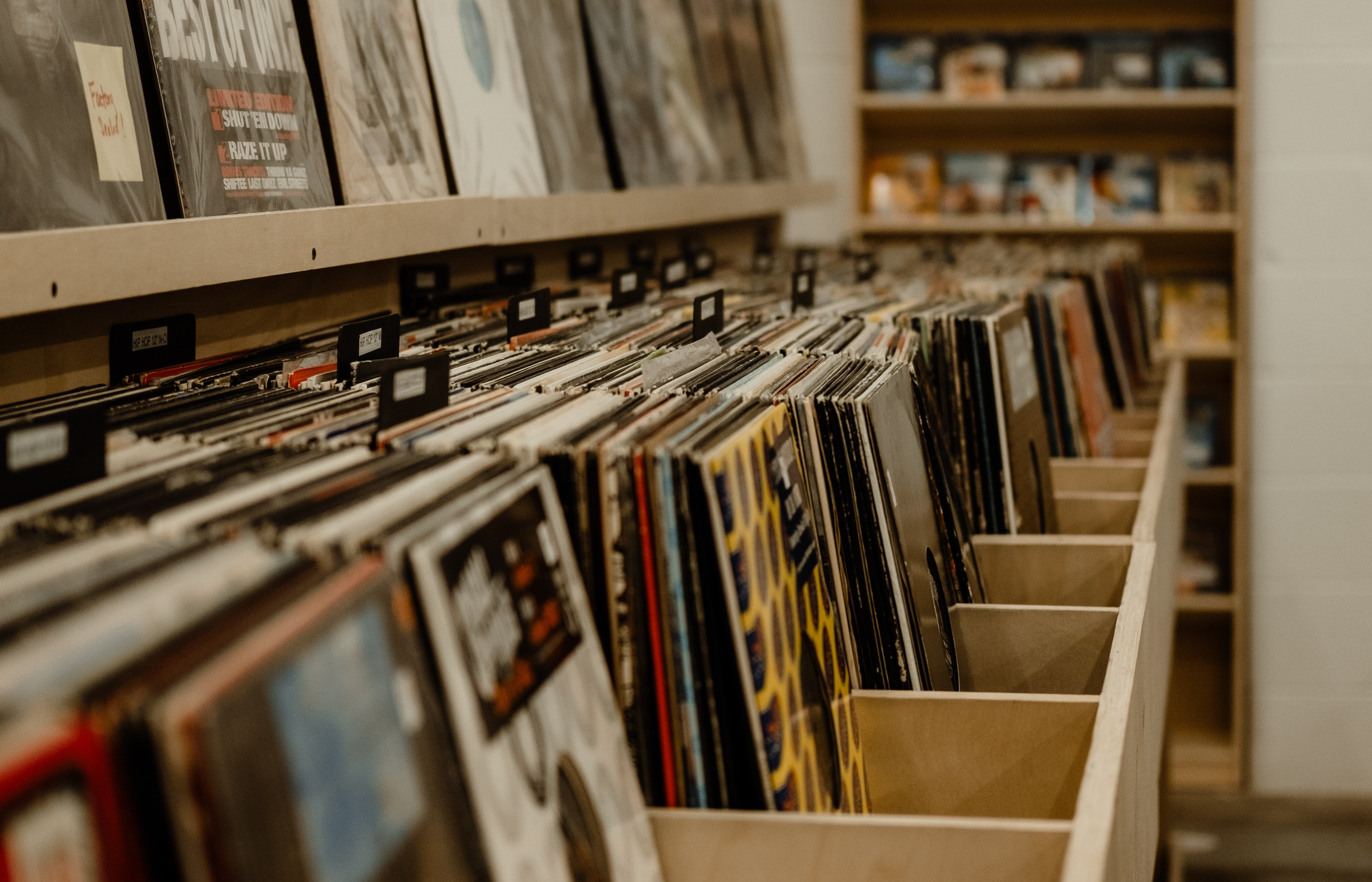
Past People’s Park, you’ll cross over telegraph avenue, which is an important shopping street for students of the University. You can’t miss the rainbow mural that adorns the roof of Amoeba Music, Berkeley’s home for new and classic vinyl and CD releases.
Telegraph is where students go to grab coffee, bubble tea, and quick meals. Further south you’ll find grocery stores, tattoo parlors, and restaurants that serve Nepalese, Ethiopian, Italian, and other global cuisines.
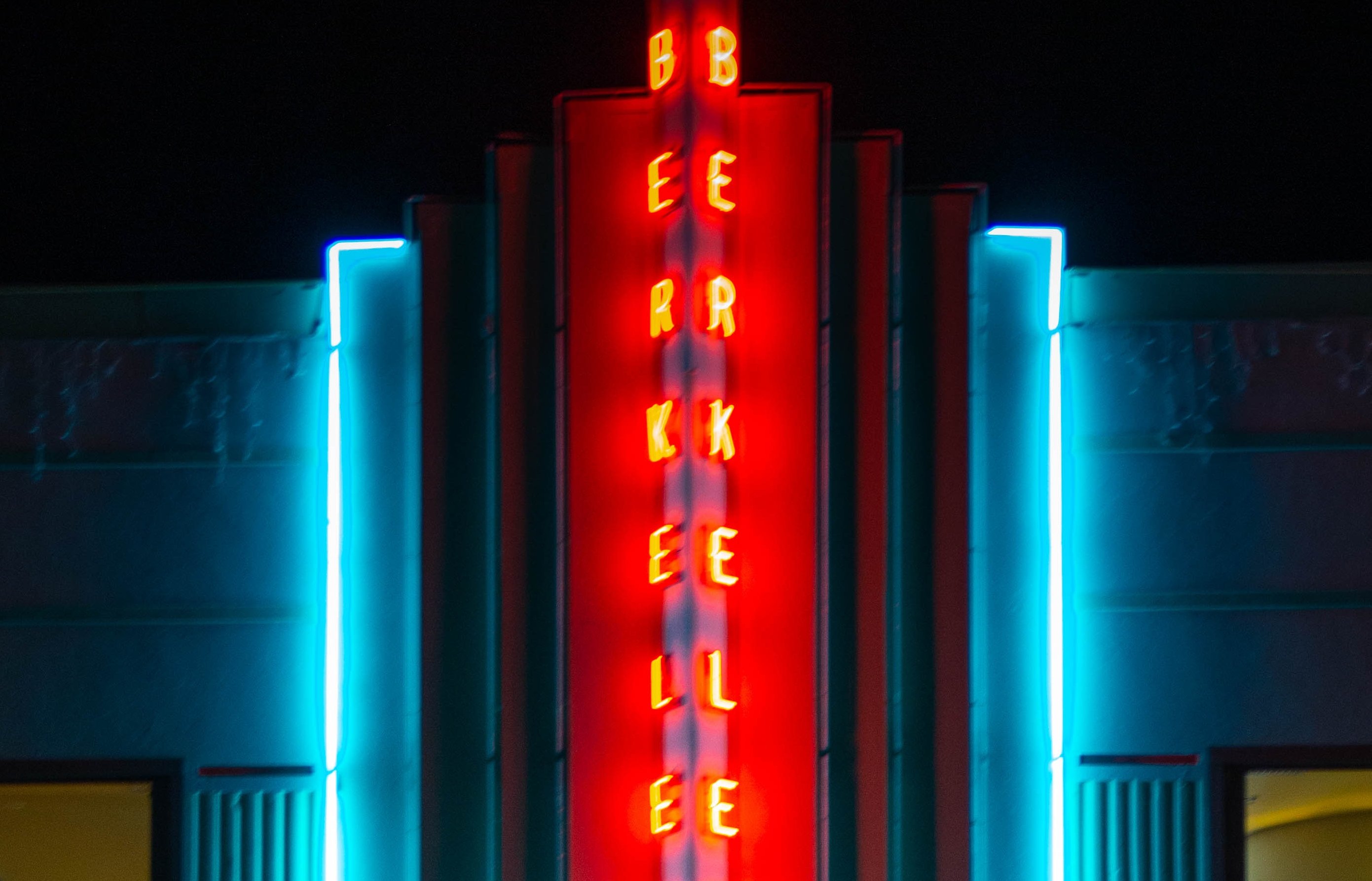
Our next turn will be a right onto Shattuck Avenue, which takes us through the middle of Downtown.
Distance: 0.79mi
, Attraction : Restaurants and Shops
2401 Shattuck Ave, Berkeley, CA 94704, USA
Downtown Berkeley
Shattuck Avenue is the heart of the area known as Downtown Berkeley. This is where you’ll find some of the best restaurants, shops, and nightlife the city has to offer.
Coming up on the right you’ll see Cornerstone Craft Beer and Music, which is a great place for, well, Craft Beer and Music! With 42 taps, you’re bound to find brews you’ve never seen before. The 13,000 square foot space has two stages for live shows, two full-service bars, an outdoor beer garden with firepits, and ping pong tables!
Further along Shattuck, you can see several neighborhood necessities along both sides of the road. You can see cinemas, coffee shops, a yoga studio, and a few restaurants over the course of the next two blocks.
A couple of standouts: Angeline’s is a Cajun restaurant that serves comfort food from America’s most unique cuisine. If you’re looking for a good spot for gumbo, jambalaya, and crispy fried chicken, you’ve got to check it out. For a real taste of New Orleans, you can order hurricanes by the pitcher. This classic Louisiana cocktail blends rum and fruit juices for an authentic gulf coast flavor.
Speaking of cocktails, real spirit enthusiasts should head into Tupper and Reed, a two-level venue built in 1925. Originally the site of a music store, which often functioned as a bar itself, the current owners have attempted to rekindle the vibrant atmosphere of its 1920s predecessor. They create original cocktails and give new life to prohibition-era classics, and often host live jazz and local musicians.
Right in the center of everything (at the intersection with Center Street) you’ll find downtown Berkeley’s BART station. The train connects the city with the rest of the Bay Area, and makes this part of town a prime spot for commuters, with plenty of options for apartment living in newly constructed buildings.
Make sure to keep left at that intersection to stay on Shattuck Avenue.
Those few blocks north of the BART station are home to Berkeley’s arts district. Down Center Street, on the right side, you’ll find the Berkeley Art Museum, with its iconic silver exterior. The Art Museum has a robust collection of Asian artifacts and houses the Pacific Film Archive, with its vast collection of rare prints and classic films.
On the other side of the street, down Addison to your left, you find the Berkeley Repertory Company, one of the Bay Area’s most celebrated regional theaters. Producing both new works and west coast premiers, Berkeley Rep has won six Tony Awards and even a Pulitzer Prize for their outstanding contributions to the American Theater.
After you cross over University Avenue, keep heading down Shattuck until you reach Cedar Street. This stretch of Shattuck is lovingly referred to as the “Gourmet Ghetto.”
The idea of this restaurant-lined culinary street began back in 1966 when the original Peet's Coffee opened its doors. They kicked off the specialty coffee trend long before a certain Seattle-based chain took it nationwide. Before long, the area was a culinary destination.
One of the most important restaurants on the street is Chez Panisse, opened in 1971 by chef Alice Waters. This farm-to-table restaurant helped start the food activist movement that encourages sustainable farming and local partnerships. Chez Panisse is widely considered to be the progenitor of the cooking style now known as Californian cuisine.
Also of note is Saul’s Deli, the latest in a string of delicatessens that have occupied the same building since the 1950s. Saul’s was founded in 1986 and brings a taste of east-coast Jewish food to the Bay Area. While they began by importing as many products as possible from New York, these days they have partnerships with local ranches and farms and cure their delicious meats in-house.
The Gourmet Ghetto has far more restaurants than I have time to mention. Keep an eye out along Shattuck for Poulet, Cheese Board Collective, The Butcher’s Son, and Love at First Bite. For those of you with a sweet tooth, Masse’s Pastry is a must-see.
When you reach Cedar Street, we’ll turn out of the downtown area and make our way into the neighborhoods that line the hills and slopes of the east side of town.
Cedar Street will be the next right. At the corner, you’ll find a couple of great spots for lovers of French cuisine. Crepevine, on the left, is a casual spot for sweet and savory crepes and delicious french toast. Gregoire, located on the opposite corner, serves European-style sandwiches, like steak and brie on a warm baguette. They’re well known for their potato puffs!
Now that we’re heading down Cedar, we’ll quickly slip into a quieter part of town. Northeast Berkeley is filled with single-family homes and is generally considered one of the nicest places to live in the city.
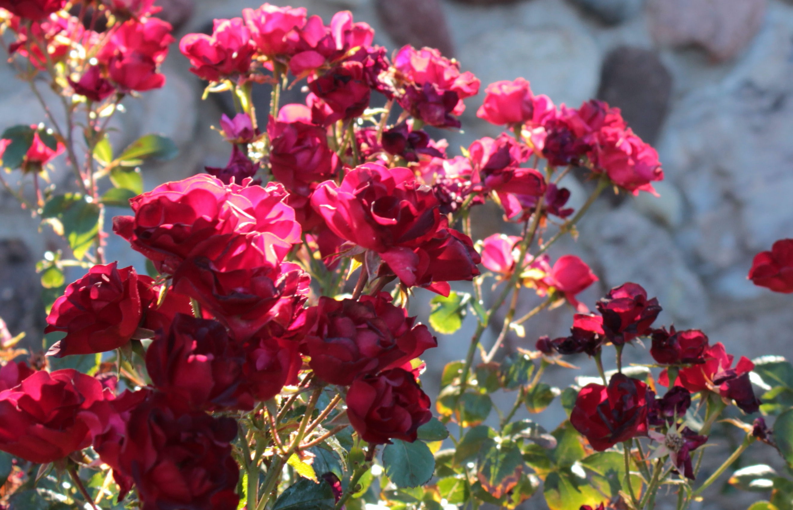
Turn left on Euclid Avenue when you reach the stoplight. Then keep an eye out on the left side for the famed Berkeley Rose Garden. Set into the hillside below the road, this terraced park offers stunning bay views and features over a hundred varieties of roses. Make sure to stop through here in mid-May, when the bloom is at its peak. The park has been a Berkeley landmark since 1933 when it was established as a Civil Works Administration project as part of FDR’s New Deal.
The next segment of our drive will take us through the neighborhoods of La Loma Park, Berkeley Hills, and Cragmont, some of the most desirable places to live in the East Bay area.
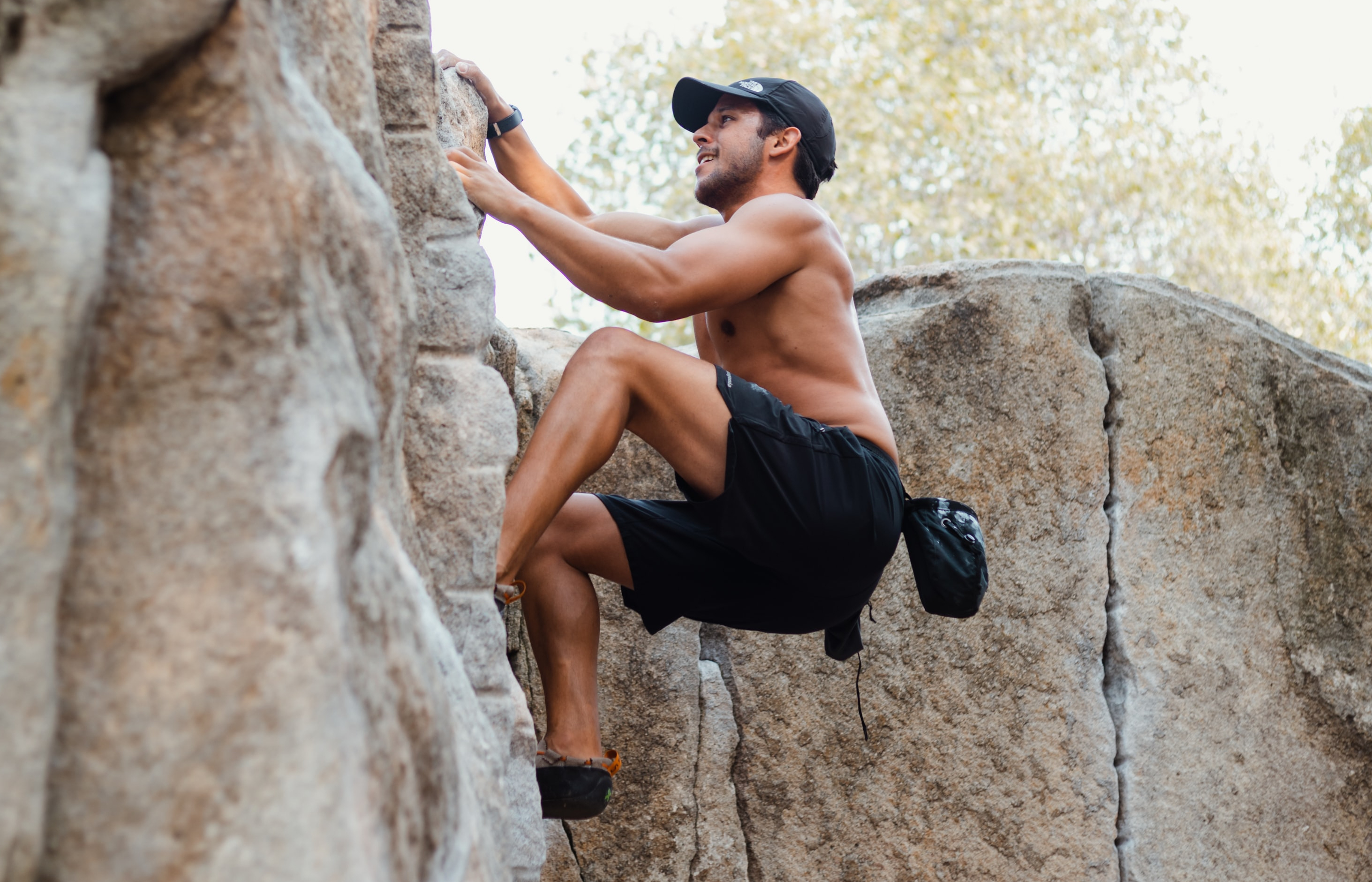
One thing you can certainly say about the city of Berkeley is that they like their parks. While plenty of them simply provide green spaces for neighbors to stroll and exercise, a bunch of them serve specific purposes. That’s the case for Cragmont Rock Park, which is coming up on your right.
Cragmont Park features a natural outcropping of granite that has been turned into a dedicated space for climbers to practice their bouldering skills. And it’s not the only spot to do so! The city has set aside seven parks for climbers to avail themselves of, all of which can be found in the neighborhoods of Northeast Berkeley. The closest ones are Indian Rock park, Grotto Park, and Remillard Park.
Make sure to take a right on Marin Avenue when you come to it. Shortly after you’ll make another right turn on Grizzly Peak Boulevard, which runs along the ridgeline at the top of the Berkeley Hills. Grizzly Peak itself is the tallest of the hills that make up the eastern border of the city. Though everything west of these hills has been developed, a surprise awaits nature lovers that cross into the eastern valley, which we’ll see in just a minute.
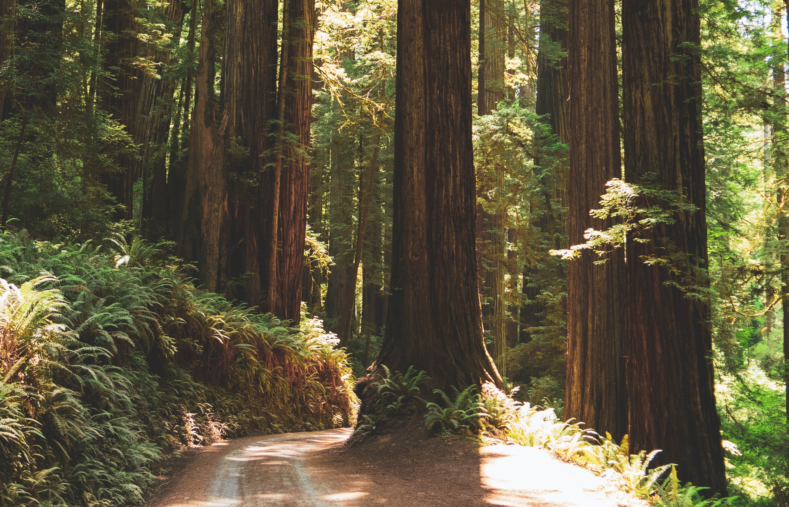
With over 2,000 acres of protected land, Tilden Regional Park is Berkeley’s playground, with miles of hiking trails connecting the various attractions that line Wildcat Canyon.
The area directly to your right is the Regional Parks Botanic Garden, a 10-acre landscaped space that preserves California’s rare and endangered native flora.
The road you’re on now loops its way around the Brazilian Room, which once represented its namesake country at the 1939 Golden Gate International Exhibition and was given as a gift to the people of the East Bay. The building itself is crafted from Brazil’s native hardwoods, such as Jacaranda, Mahogany, and Brazilian Chestnut. Today, the room is a gorgeous rentable event space for weddings, conferences, and other gatherings.
You may have noticed a sign on the way in directing traffic to Tilden Park’s public golf course. This 18-hole par 71 course covers 6,300 yards and was designed in 1937 by William Park Bell, Jr. Their famous 16th hole sits atop the ridge and overlooks the course and the valley beyond from an elevated tee box – it’s truly a sight to behold.
After a rousing round, the Grizzly Bar and Grill is the perfect spot to grab a sandwich and a cold beer. The course also has numerous practice facilities, including a driving range with over sixty covered and heated stalls.
The park also provides hours of fun for kids – an antique carousel from 1911 sits nestled in the hillside, and there are over a dozen spots for family picnics. Lake Anza, the headwaters of Wildcat Creek, is just down the hill to your right and features a public beach area for splashing around on a summer day.
Of course, a fun day at the park can also be educational – and the Tilden Nature Area is a great place to learn about California's unique plant and animal life. The nature area abuts Wildcat Canyon Regional Park – an adjacent 2,500-acre preserve – and is home to Tilden’s Environmental Education Center. The center offers educational programs to inquiring minds of all ages, with tons of events scheduled throughout the year.
The nature area is also where you’ll find the “Little Farm”, which has been operating since 1955. They raise all sorts of animals, like cows, sheep, goats, pigs, and more. The little farm helps preserve “heritage breeds” such as the Milking Shorthorn Cow – these breeds represent the traditional livestock animals the pioneers raised in the early days of western settlement.
The nature area takes up 740 acres, meaning that this complex of regional parkland comes out to over 5,000 acres of natural forest just a stone’s throw away from Berkeley’s residential neighborhoods.
Leaving the park, you’ll take a left on Golf Course Road, which turns into Centennial Drive a little later on. You can see the course itself on the left.
One more thing before we head back into town – The Tilden Steam Train is a must-see attraction for the little engineer in your family. Though scaled-down for a young audience, the train is an exciting glimpse into technological history, offering 12-minute rides along a scenic ridge through the park.
Okay, let’s keep on going. I’ll pick back up when you reach Centennial Drive.
Distance: 1.75mi
, Attraction : Museum and Gardens
1 Centennial Dr, Berkeley, CA 94720, USA
Centennial Drive
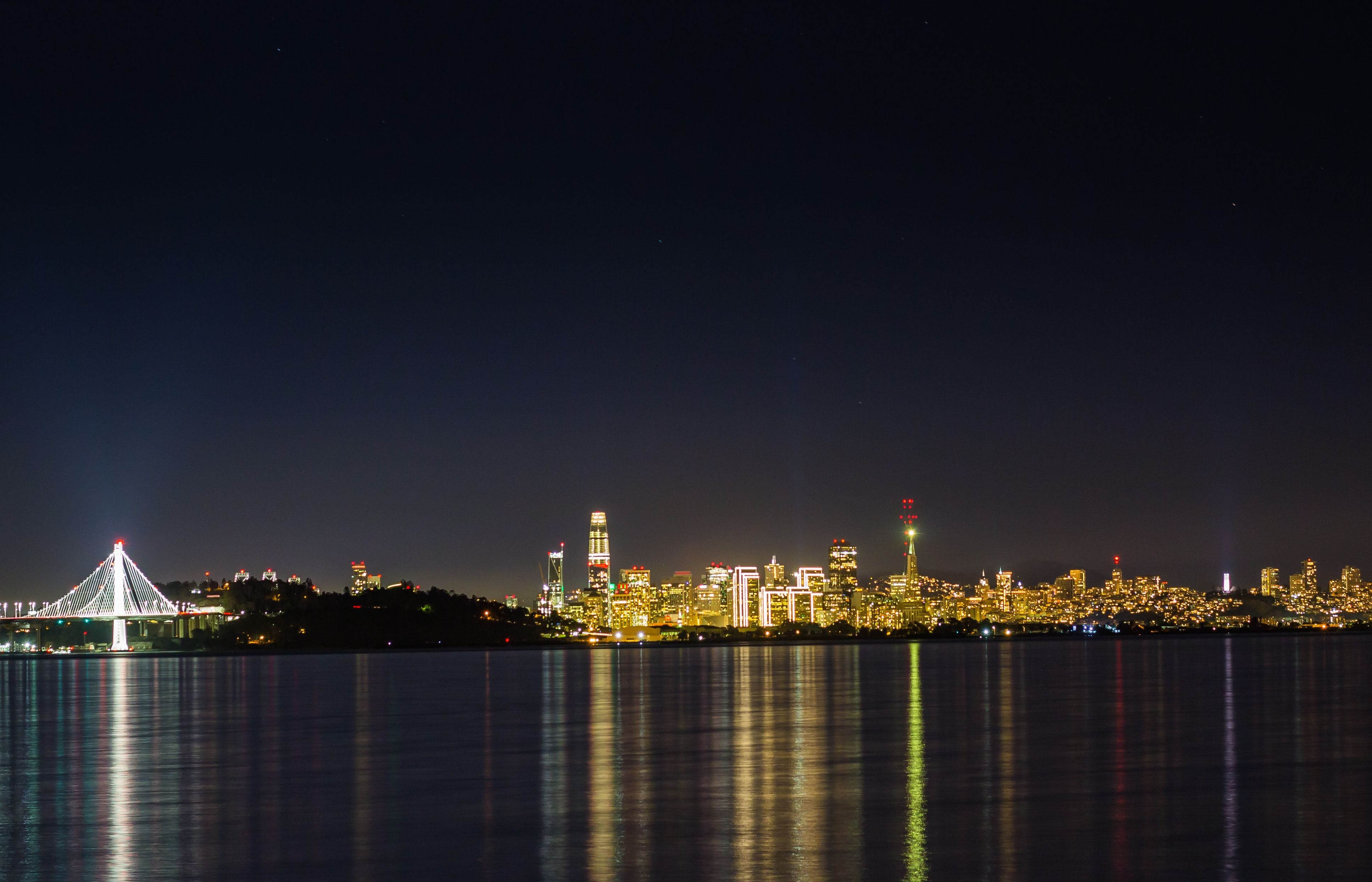
Get a load of that view! This parking lot is known as the Grizzly Peak Vista, and you can see why. On clear days, this is one of the best places to see the Bay Area stretched out before you, with a clear line of sight to downtown San Francisco, the Golden Gate Bridge, Alcatraz, and Treasure Island. If you’re taking this tour on a foggy day, I highly recommend swinging back through here when the sun is out.
Continuing down Centennial Drive, you’ll see the Lawrence Hall of Science, one of California’s best museums. Interactive, hands-on exhibits set Lawrence apart from other museums – you can even “ride” on the back of a life-sized fiberglass whale!
There’s a planetarium for aspiring astronomers and tons of events and guest lectures throughout the year. Young epidemiologists can even participate in an interactive “Pandemic Detectives” program and learn all about the science of understanding and preventing infectious diseases.
The Lawrence Hall of Science is one of many ways in which the University gives back to the community. It’s named for nuclear scientist Ernest Lawrence, who founded the Lawrence Berkeley National Laboratory just down the hill. He also lent his name to the satellite lab turned major research center, Lawrence Livermore. You can learn more about the achievements of these cutting-edge research centers on the UCPlaces tour of the Tri-Valley area, just a few miles east of here.
Moving on, you’ll drive right through the middle of the UC Berkeley Botanical Garden, with greenhouses located on the right side of the road and a 34-acre landscaped area on the left. Unlike the Tilden garden, which showcases local plants, This garden features flora from around the world. There are over 12,000 species, which you can see at no cost.
You can’t quite see it from the road, but the thick copse of redwood trees on your right, as you continue downhill from the garden entrance, hides the Redwood Grove Amphitheatre. The beautiful forest forms the backdrop of a stage, which hosts guest speakers and an outdoor concert series. It can also be rented out as a venue for private events.
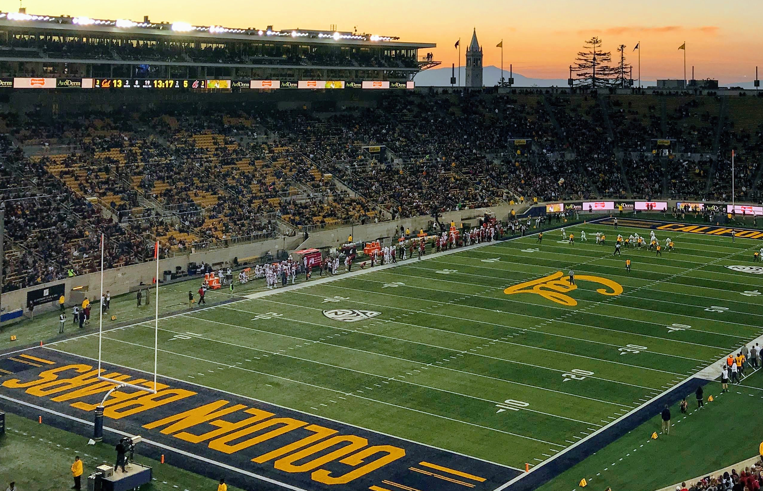
Centennial Drive takes you back down the hill past the University’s athletic facilities, including their softball and rugby fields. The road terminates at the California Memorial Stadium, where the Cal Bears play in college football’s Division I.
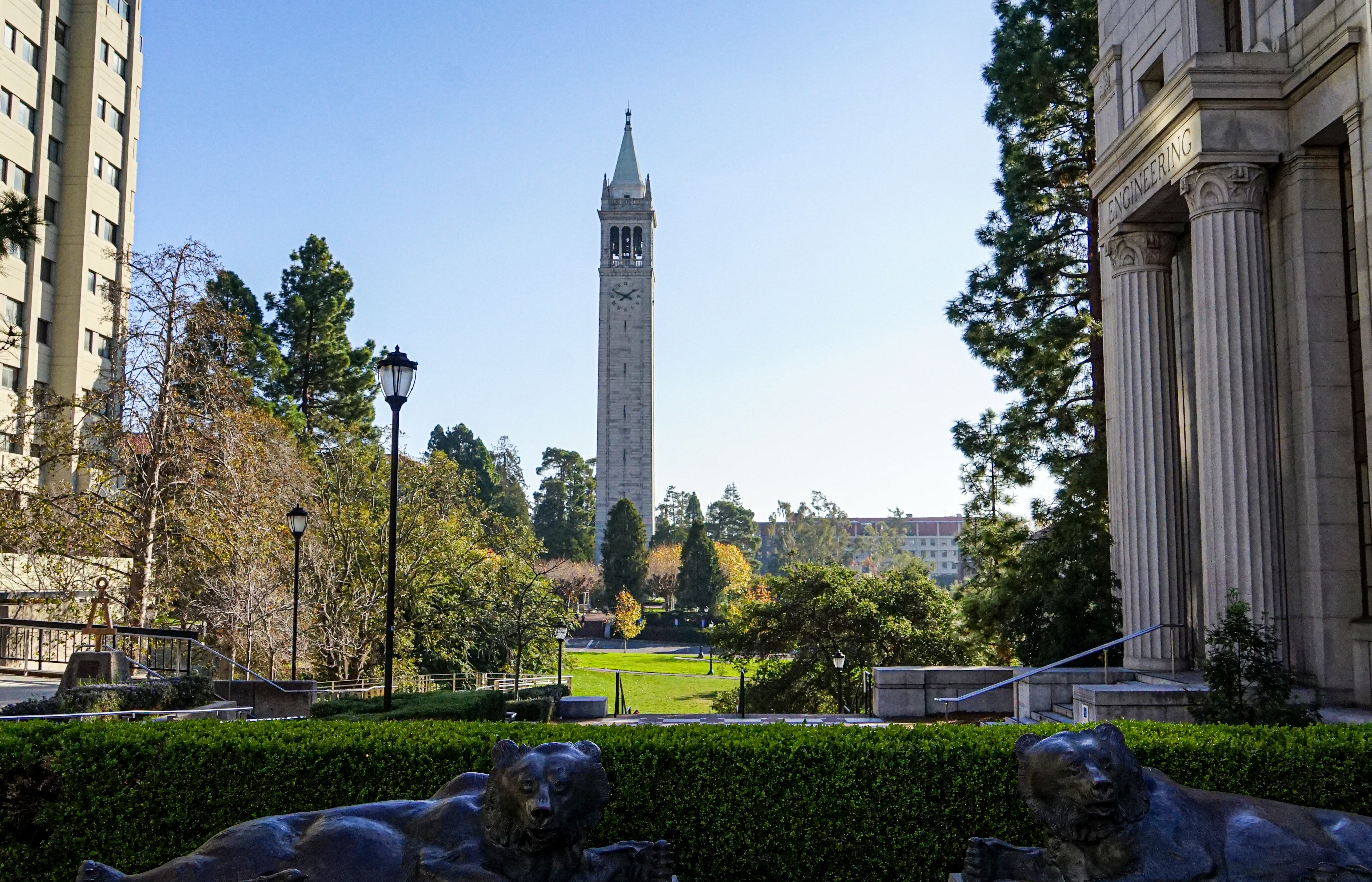
Well, we’ve been circling around it all day, so I guess we should finally get a real glimpse of the University of California at Berkeley, the heart of this famous college town.
To your right, you’ll see the back side of Berkeley’s famous Greek Theatre. This music venue was built back in 1903, on top of a natural bowl in the hillside that was already being used for shows and presentations. Built in the style of a classical Grecian amphitheater, the first show staged here was, appropriately, Aristophanes’ The Birds.
Bands from all genres play the Greek, which serves as the city’s main venue for touring acts. It’s also where the school holds its hottest annual tradition – a massive bonfire burned the night before the Cal-Stanford football game.
We’re skirting the eastern and northern edges of the campus’ main body – If you’re interested in seeing more of the school feel free to park and walk around, or return here after the tour is over. The eclectic architecture of the institution provides a fascinating glimpse into its 150-year history.
Make sure to turn left on Hearst Avenue up ahead. The buildings you’ll pass on your left side mainly make up Cal’s STEM departments, including Engineering, Chemistry, and Genetics.
The intersection with Euclid Avenue is where you’ll find the vital businesses that support busy college students – a coffee shop and a pizza joint.
Keep heading west on Hearst and cross back over Shattuck avenue. We’re heading toward the more populated west side of town, where you’ll get a glimpse of Berkeley’s bustling urban neighborhoods.
Further on, Hearst Avenue runs along the length of Ohlone Park on the right side. Spanning five city blocks, you’ll find a fenced dog park, community garden, and several athletic courts, all connected by the Ohlone Greenway. The greenway exits the west side of the park and runs north almost 5 miles before connecting with the Richmond Greenway. This provides Berkeley residents with an easy way to traverse the area by bicycle or on foot.
Distance: 1.32mi
, Attraction : Restaurants and Shops
1485 University Ave, Berkeley, CA 94702, USA
University Avenue
Turning right on University Avenue will put you on a course through West Berkeley, a more densely populated part of town compared to the sloping neighborhoods we saw earlier.
Just to your left, you’ll see a local favorite spot, Taqueria Monte Cristo. This relatively inexpensive Mexican joint serves up the classics, from tacos and burritos to smothered enchiladas. On the same block, you’ll also find a Target and CVS.
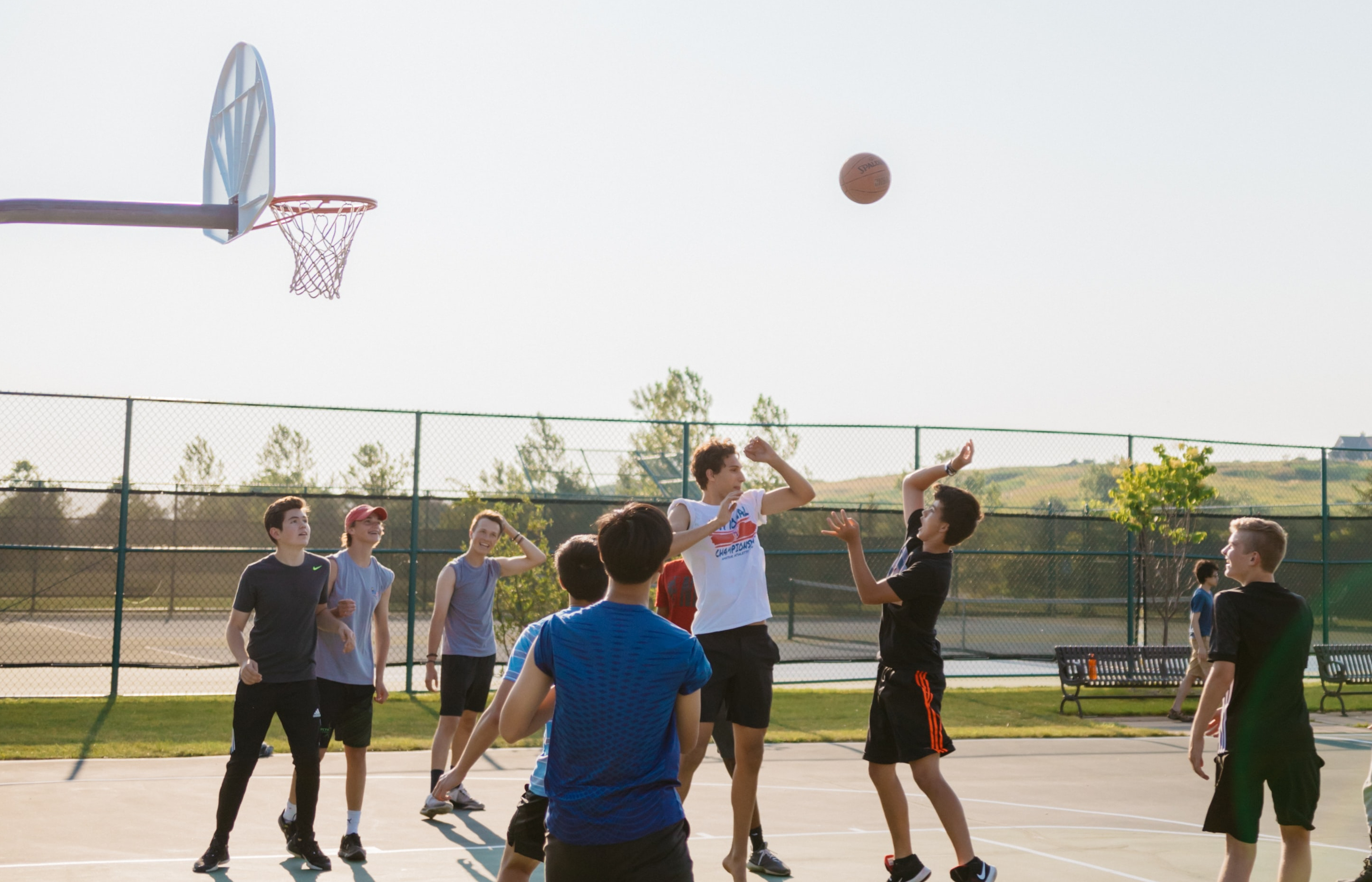
One of the best features of Southwest Berkeley is Strawberry Creek Park, which sits a few blocks back in the neighborhood to your left. Taking advantage of the space between buildings, this 2-block long community park has basketball, tennis, and volleyball courts, plus a full-sized fenced-in soccer field.
University Avenue is the main east-west artery of Berkeley, Running from campus to our final stop, Berkeley Marina. As we head that way, there are a couple of spots to keep an eye out for. The intersection with San Pablo Avenue is one – there you’ll find several restaurants, including German beer hall Gaumenkitzel and La Marcha, a Spanish tapas bar in a rustic bistro setting.
Past San Pablo, you’ll want to keep an eye out for Fourth Street on your right. Situated right across from the Berkeley Amtrak station, Fourth is a convenient shopping district, featuring an Apple Store, several clothing shops, and upscale Japanese restaurant Iyasare.
After that, it’s just a short few blocks to the bay!
University Av & W Frontage Rd, Berkeley, CA 94720, USA
Berkeley Marina
We’re ending our tour here at Berkeley Marina, the best spot in town for beautiful panoramic bay views. The McLaughlin Eastshore State Seashore, on both sides of the road, separates the main body of the marina from the interstate, providing a buffer for the noise of traffic.
The Seashore stretches eight and a half miles along the coast, with walking trails along the water’s edge. Follow those trails north for two miles and you’ll end up at Albany Bulb, a former landfill turned park that juts out into the bay. It’s famous for its graffiti art, which includes numerous sculptures made from repurposed junk. Up that way, you’ll also find Golden Gate Fields, Berkeley’s professional horse racing track.
Coming up, there’s a fork in the road. We’re going to take a left to stay on University, but feel free to explore the other direction after the tour. Turning right on Marina Boulevard leads to Cesar Chavez Park, a peninsular landscape with rolling hills and amazing views of the bay. It’s a major destination for kite-flying enthusiasts.
Continuing left on University, you’ll pass the University’s aquatic sports center, where the Cal sailing team launches their boats. You’ll also pass the Adventure playground, a ropes course made from repurposed boating materials.
The road terminates at Berkeley Pier, where fishing lovers and whale watchers can avail themselves of the Bay itself.
That’s all I’ve got for you today! Thank you for coming along with me on this journey through one of America’s most famous college towns. Remember, if you’re looking to relocate to the East Bay area, our local expert Barbara Brodrick has the knowledge and experience to find your perfect home in Berkeley and all across Alameda and Contra Costa Counties. You can reach her at 925-403-1213 or barbara@thebrodrickgroup.com. Until next time, I’m Stephen, and thanks again for taking this UCPlaces tour.
How to take a UCPlaces tour
Taking a UCPlaces tour is fun and easy.
Download the app (Android or iOS), purchase the tour (either here on the website, or from within the app).
That's it, you're ready to go!
When you want to start the tour, find the tour in the app (via a quick in-app search or by clicking the tour link received in your confirmation email) and click "Start Tour" (headphones recommended for best experience.)
* After purchasing a tour you will receive a purchase confirmation email including the tour link and instructions on how to take the tour, so you don't have to remember anything now.
How does the tour work?
UCPlaces acts as your personal tour guide, providing self-guided audio tours fully navigated within our app using GPS-based navigation. You won't need to switch between external navigation apps.
Whenever you approach a point of interest (POI) on the tour, our app will automatically play the relevant audio story at the right time and place.
If you start the tour before reaching the first POI, the app will navigate you to the starting point and then begin the tour.
How is this more convenient than a traditional tour?
UCPlaces offers an innovative and flexible way to explore exciting destinations on your terms.
Here are some key advantages over traditional tours:
No need to commit upfront or purchase in advance; buy a tour only when you're ready to go.
Walk at your own pace.
No waiting for groups; go on your schedule.
Take the tour in your preferred language.
Start, stop and continue the tour whenever you want.
Returning to the same destination? Take the tour again, and again, and again... And bring a friend!
Enjoy preferred prices.
What's included?
A self-guided audio tour taken via the UCPlaces app [Android / iOS (iPhone) / Apple CarPlay].
Tour route map and in-app GPS navigation (via the UCPlaces app).
Audio stories for places visited during the tour.
Apple CarPlay connection (for iOS users); for a seamless driving tour experience.
What's NOT included?
Earphones (highly recommended).
Smartphone.
Any kind of transportation (including tickets and passes).