Oakland Self-Guided (GPS) Audio Driving Tour, California - Where to live near Grand Lake and Northeastern Oakland
About this English self-guided 43m driving tour in Oakland
Hello, and welcome to this UCPlaces tour of Oakland’s northeastern neighborhoods. My name is Stephen, and I’m excited to take you on today's journey through Grand Lake, Rockridge, and the hills beyond.
Before we get started, let me introduce you to our local expert Realtor, Barbara Brodick.
Barbara Brodrick has been a resident of the Bay area for over 45 years. During that time she has moved between San Francisco, Oakland, Sunnyvale, and San Jose, which has given her a unique and knowledgeable perspective on the diverse neighborhoods of the Bay Area.
The hallmark of Barbara's career has been customer service. She has consistently been recognized and has received corporate awards for delivering the highest level of customer service to her clients. She brings this work ethic, dedication, and commitment to each Real Estate transaction and to each of her clients.
If today’s tour inspires you to start your search for a home in Oakland or anywhere else in Alameda and Contra Costa Counties, give Barbara a call at 925-403-1213. You can also reach her via email at barbara@thebrodrickgroup.com.
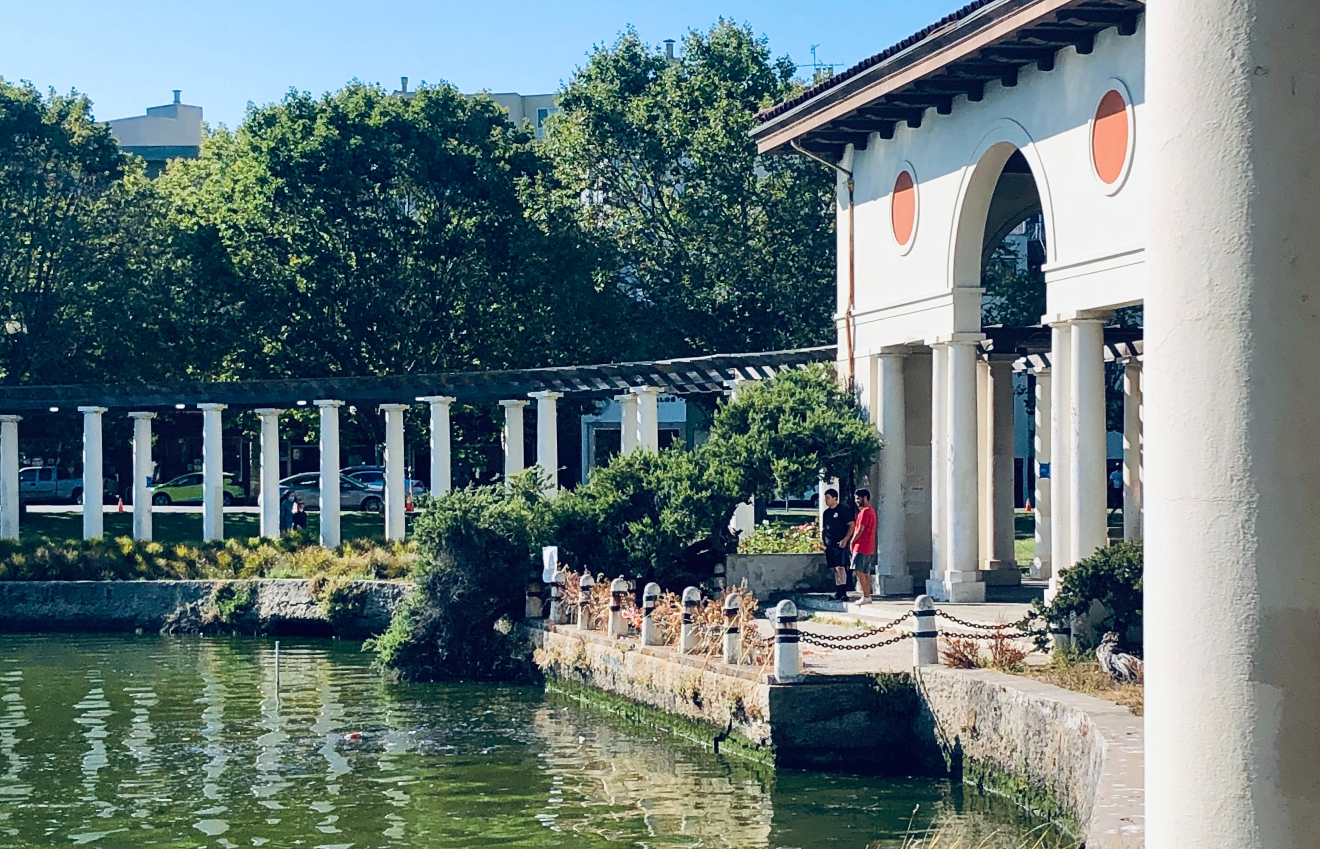
All right! Let’s get started with the tour. Follow the GPS navigation to our first stop along the shores of Lake Merritt.
- Category
- Language
- Region
- Country
- City