Sign up Login Sign Up Create a Tour

Search for a self-guided tour

603 tours
Retour de voiture Hertz à l'aéroport - guidage GPS vers Ben Gourion Tel Aviv (French) - tour cover imageDriving tourAirports
Tel AvivIsrael

Retour de voiture Hertz à l'aéroport - guidage GPS vers Ben Gourion Tel Aviv (French)

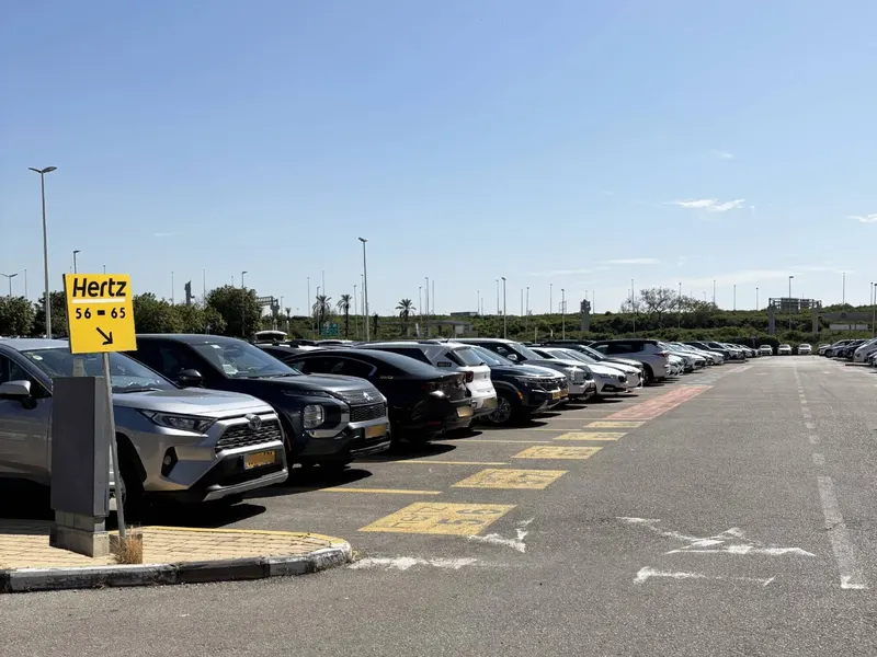
Bienvenue dans ce guidage audio pour le retour de votre voiture Hertz à l'aéroport Ben Gourion ! Cet itinéraire va vous conduire tout en douceur, d'où que vous soyez en Israël, jusqu'au dépôt Hertz. On vous garantit un trajet zéro stress avec des directions super claires : restez concentrés sur la route, on s'occupe du reste. En chemin, profitez-en pour découvrir des anecdotes sympa sur l'Israël, son histoire, sa culture et ses endroits uniques. Attachez votre ceinture, et c'est parti pour le retour vers l'aéroport Ben Gourion ! J'espère que votre séjour en Israël a été inoubliable ! Que vous ayez arpenté les rues animées de Tel Aviv, plongé dans l'histoire millénaire de Jérusalem, flotté sur la mer Morte ou savouré les délices culinaires des marchés locaux, l'Israël réunit tradition et modernité, histoire et innovation. En roulant, prenez un moment pour repenser à ces expériences uniques et aux souvenirs que vous vous êtes créés. Avant de me faire petite pour vous laisser rouler tranquille, voici quelques petites infos insolites sur l'Israël que vous ne connaissiez peut-être pas : 1. La Startup Nation : l'Israël compte le plus grand nombre de startups par habitant au monde et est un vrai leader de la tech et de l'innovation. 2. Le point le plus bas de la Terre : la mer Morte, située à 430 mètres sous le niveau de la mer, est le point le plus bas du globe, et on y flotte sans le moindre effort. 3. Un melting-pot culinaire : la cuisine israélienne est un mix de saveurs orientales, méditerranéennes et internationales, influencée par les communautés juives du monde entier. 4. Un petit pays à la diversité folle : malgré sa taille, l'Israël abrite des déserts, des forêts, des plages, des montagnes et même une station de ski sur le mont Hermon. 5. La vie nocturne de Tel Aviv : surnommée « la ville qui ne dort jamais », Tel Aviv possède l'une des vies nocturnes les plus animées au monde. Bonne route vers l'aéroport ! Suivez simplement le trajet sur notre système de navigation, et je repasse vous voir juste avant l'entrée extérieure. À l'aéroport, je vous guiderai jusqu'à la zone de retour des véhicules pour que tout se passe comme sur des roulettes.
3 places4 min0.5 miFrench
Petah Tikva, Israel: Pioneering Spirit of the Mother of the Colonies — A Self-Guided Driving Tour - tour cover imageDriving tourMain Sites
Petah TikvaIsrael

Petah Tikva, Israel: Pioneering Spirit of the Mother of the Colonies — A Self-Guided Driving Tour

Welcome to Petah Tikva! Let’s start with a little honesty. This is not a city that reveals its charms at first glance. If you were expecting cobblestone lanes, elegant boulevards and a postcard around every corner… you may be wondering whether you took a wrong turn. You didn’t. Petah Tikva makes you work a little harder. Between the apartment blocks, busy roads and buildings of questionable architectural ambition, there’s a story that’s easy to drive past without noticing. That’s what this tour is here for. Founded in 1878, Petah Tikva became known as Em HaMoshavot—Mother of the Colonies. Before the traffic and shopping centers, there was an ambitious attempt to build a farming community. Its founders left the familiar surroundings of Jerusalem to work land that would test their skills, their health and their determination. They called their settlement Petah Tikva: “Opening of Hope.” A lovely name. Making it live up to that name took rather more effort. As we explore, we’ll meet the people behind that experiment: founders, farmers, guards, workers and families whose plans did not always agree. We’ll discover why a well could matter more than a house, how citrus connected this place to distant markets, and how a small agricultural colony grew into the city around us. Some places invite you to admire what has survived. Here, part of the pleasure is imagining what has disappeared. Look beyond a storefront, and picture a farmer’s courtyard. Beyond an apartment block, imagine rows of citrus trees. Beneath a familiar street name, look for a person with ambitions, arguments and probably no idea that one day people would complain about parking here. Along the way, there will be opportunities to pause, explore on foot and find something good to eat. Keep your eyes on the road and follow the navigation. We’ll help you uncover the stories along the way. Let’s discover Petah Tikva.

15 places43 min9.3 miEnglish
Rome: Power, Sin & Secrets — Self-Guided Walking Tour from Campo de’ Fiori to the Pantheon - tour cover imageWalking tourMain Sites
RomeItaly

Rome: Power, Sin & Secrets — Self-Guided Walking Tour from Campo de’ Fiori to the Pantheon

Welcome to a place that pretends to be lighthearted. Campo de’ Fiori. A square that today feels almost frivolous: the smell of warm bread, young people sitting on the ground, glasses resting on low walls, a constant hum of voices mingling with the scent of flowers... and fried food. A square that smiles. A square full of life. But Rome has a way all its own of telling stories: it shows you the surface... and then whispers in your ear everything that surface is hiding. Today, we are going to walk through that very subtext. The shadowed side, the part you cannot see. Campo de’ Fiori has no church, no basilica, no bell tower to give you your bearings. It is the only great square in the historic center without a sacred place watching over it. And do you know why? Because the sacred was not needed here. Here, justice did the talking. A justice that was often just another name for power. Here, in this space that now holds raised glasses and laughter, for centuries they set up temporary courts, public trials, sentences, punishments. And at the center of it all, there was one element that always returns in the history of Roman power: fire. Not a domestic fire, not a fire that warms. A fire that punishes. A fire that silences. A fire that sends a message. You did not come here to seek salvation. You came here to watch someone burn. If you close your eyes for a moment, you can almost picture the crowd pressed together, the overlapping voices, the waiting, that tension that comes before ritual violence... and wood creaking beneath a torch. And in the middle of all this, there was a man. A man who would not kneel. A man who did not know how to keep silent. And he is where this journey begins. Get ready, because what you are about to hear is not a history lesson. It is an immersion. A descent into the way Rome, in every century, has used sin, fear, beauty, and faith... to hold on to power. When you are ready, take a step forward. Walk toward the dark statue that dominates the square. That is where the story begins.

11 places44 min2.0 miEnglish
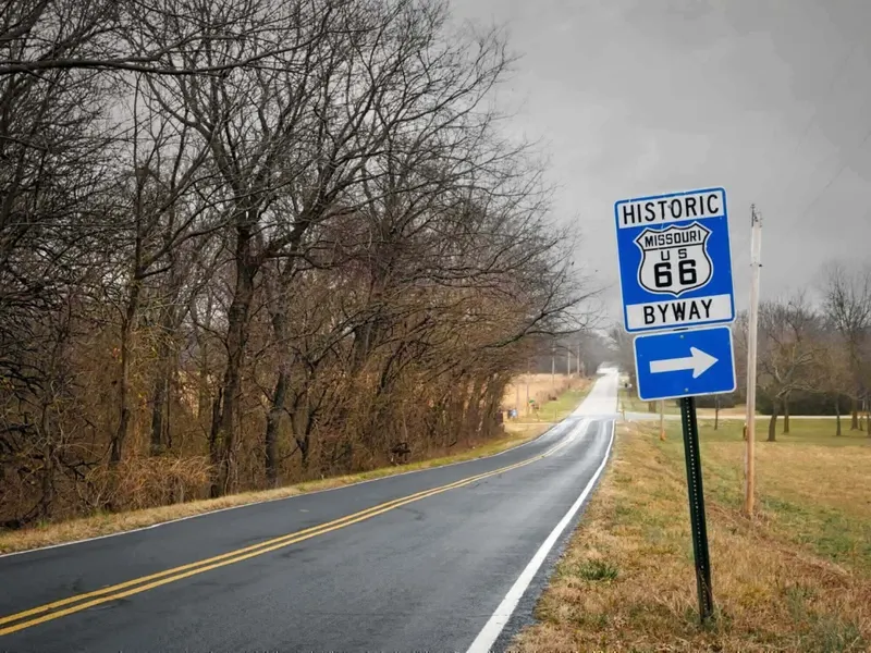
Route 66 Day 5 (West to East): Amarillo, Texas to Oklahoma City, Oklahoma — Epic Self-Guided Driving Tour - tour cover imageDriving tourMain Sites
SpringfieldMissouri, United States

Route 66 Day 5 (West to East): Amarillo, Texas to Oklahoma City, Oklahoma — Epic Self-Guided Driving Tour

Welcome to UCPlaces and Day 5 of our west-to-east Route 66 adventure—from Amarillo, Texas, to Springfield, Missouri! Today, we’ll trade the wide-open Texas Panhandle for Oklahoma’s historic towns, cross a short but memorable stretch of Kansas, and roll into Missouri. Four states, one legendary road, and plenty of stories along the way! We’re beginning just east of Amarillo, a city that welcomed generations of Route 66 travelers with a hot meal, a full tank, and a place to sleep. Now, with Amarillo behind us, we’re continuing east in their tire tracks. Ahead are leaning water towers, vintage gas stations, neon signs, and communities that helped give the Mother Road its personality. We’ll travel through Oklahoma City and Tulsa, meet the hometown of baseball legend Mickey Mantle, and discover how mining towns and cattle trails became part of America’s great road trip. This is a full day of driving, so settle in and give yourself time for breaks. Stop for fuel, stretch your legs, and explore whatever catches your curiosity. Some of the best Route 66 memories happen when you park the car! Follow the UCPlaces navigation, obey posted signs, and keep your attention on the road. We’ll guide you along the route and share the stories as you go. By the time we reach Springfield, we’ll be ready for a well-earned rest—with just one final day remaining on our journey to Chicago. Ready? Let’s get back on the Mother Road!

49 places562.5 miEnglish
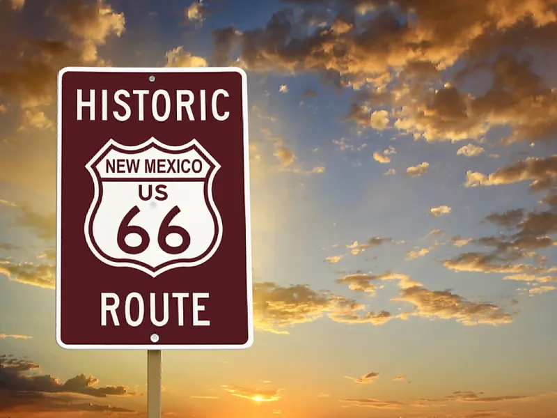
Route 66 Day 4 (West to East): Albuquerque, NM to Amarillo, TX Epic Self-Guided Driving Tour - tour cover imageDriving tourMain Sites
AlbuquerqueNew Mexico, United States

Route 66 Day 4 (West to East): Albuquerque, NM to Amarillo, TX Epic Self-Guided Driving Tour

Welcome to UCPlaces and the next chapter of our eastbound Route 66 adventure—from Albuquerque, New Mexico, to Amarillo, Texas! Today, we’ll climb out of Albuquerque through Tijeras Canyon, cross the open country of eastern New Mexico, and enter the wide horizons of the Texas Panhandle. Along the way, we’ll discover how a highway became a livelihood for small towns—and why some places flourished while others fell quiet. Our journey brings together the Mother Road’s famous landmarks and its quieter surprises: antique cars and soaring aircraft near Moriarty, a desert town with an astonishing blue swimming hole, and weathered roadside stores that once supplied generations of travelers. In Tucumcari, classic motels and colorful signs recall the promise of a comfortable room after a long day behind the wheel. Farther east, we’ll cross into Texas and reach Adrian, where the midpoint sign celebrates being halfway between Los Angeles and Chicago. We’ll finish near Amarillo, with the unmistakable Cadillacs of Cadillac Ranch offering one last roadside surprise. We’ll follow surviving stretches of historic Route 66 and use Interstate 40 where it connects them. Keep following the app’s navigation for the turns. Some attractions are optional visits, so feel free to pause for a meal, a photo, or a little exploring whenever something catches your interest. Get comfortable and enjoy the changing scenery. We’ve got mountains, small-town stories, neon memories, and a whole lot of open road ahead. Let’s get back on the Mother Road!

24 places264.9 miEnglish
Route 66 Day 3 (West to East): Flagstaff, AZ to Albuquerque, NM Epic Self-Guided Driving Tour - tour cover imageDriving tourMain Sites
AlbuquerqueNew Mexico, United States

Route 66 Day 3 (West to East): Flagstaff, AZ to Albuquerque, NM Epic Self-Guided Driving Tour

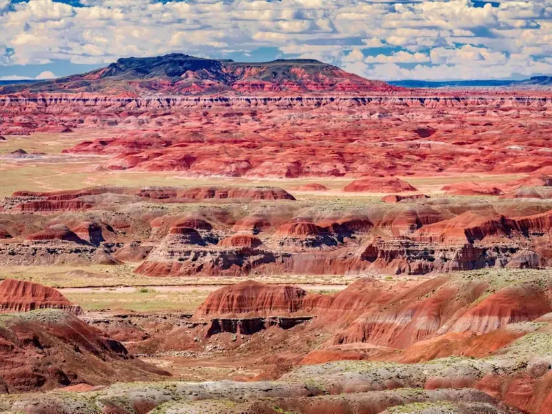
Welcome to Day 3 of our Route 66 journey. Today we’re leaving the pine forests of Flagstaff and heading east to Albuquerque, with a lot of open country and a few wonderfully strange roadside surprises in between. We’ll pass Winona, a tiny place made famous by the Route 66 song. We’ll find dinosaurs at Meteor City, a corner immortalized in another song in Winslow, and the colorful hills of the Painted Desert. If you have extra time, Meteor Crater and Petrified Forest National Park make remarkable detours. Then we’ll cross into New Mexico, where Gallup, Grants, and the communities of Laguna Pueblo add new stories to the road. We’ll drive surviving sections of historic Route 66 where they fit our route and use Interstate 40 to connect them. Some of the best moments today are small ones: an old sign, a quiet trading post, or a bend in the road that still feels much as it did decades ago. Take your time. Albuquerque will be there when we arrive.

26 places310.7 miEnglish
Route 66 Day 2 (West to East): San Bernardino to Flagstaff — Epic Self-Guided Driving Tour - tour cover imageDriving tourMain Sites
FlagstaffArizona, United States

Route 66 Day 2 (West to East): San Bernardino to Flagstaff — Epic Self-Guided Driving Tour

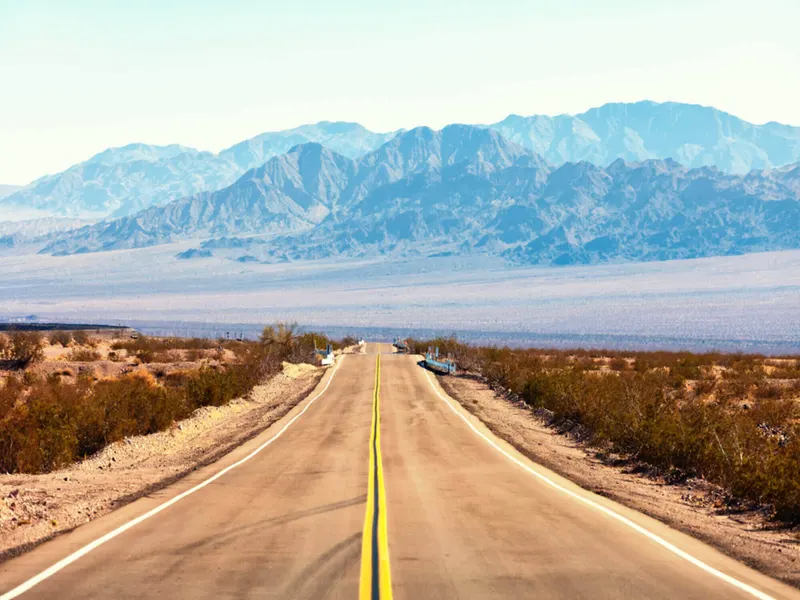
Today’s drive takes you from the pine-covered mountains of Flagstaff through the vast, sun-baked high desert and into the historic heart of Southern California’s Inland Empire — San Bernardino. Along the way, you’ll trace the original Mother Road’s winding path, experiencing iconic Route 66 sights, quirky roadside attractions, and a dramatic shift in landscape. From the awe-inspiring views of the Mogollon Rim to the remnants of classic motels and neon signs in Kingman, you’ll feel the pulse of Route 66’s golden era. Pass through small towns that tell stories of early American travel, mining booms, and westward dreams. As you descend from the desert’s vast openness toward the bustling urban sprawl, keep an eye out for classic diners, vintage gas stations, and the unmistakable charm that makes this stretch one of the most celebrated on the entire route. By the time you arrive in San Bernardino, the official birthplace of Route 66, you’ll have journeyed through a tapestry of history, culture, and landscape — all tied together by the enduring spirit of the Mother Road.

35 places476.0 miEnglish
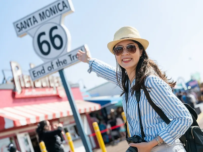
Route 66 Day 1 (West to East): Santa Monica to San Bernardino — Epic Self-Guided Driving Tour - tour cover imageDriving tourMain Sites
Santa MonicaCalifornia, United States

Route 66 Day 1 (West to East): Santa Monica to San Bernardino — Epic Self-Guided Driving Tour

Welcome to Route 66! Today, we're beginning at the Pacific Ocean in Santa Monica and heading east toward San Bernardino, following the Mother Road through Los Angeles and the communities along the foothills of the San Gabriel Mountains. Now, if you're already east of Los Angeles, you can begin your Route 66 journey with our next tour starting in San Bernardino. But if you're anywhere near Santa Monica, we highly recommend starting right here. There's a reason. For travelers historically heading west, this was the final stretch of Route 66 — the last chapter of an incredible journey across America before reaching the Pacific. And that means there's a lot of Route 66 history packed into the road we're about to travel. We'll begin at the famous western terminus in Santa Monica, travel through Beverly Hills and Los Angeles, follow historic sections of the Mother Road through Pasadena and along Foothill Boulevard, and discover some wonderful pieces of roadside Americana along the way. We'll see historic motels and service stations, unusual roadside architecture, monuments that actually predate Route 66, and even the place where one of the world's most famous fast-food stories began. And as we travel east, you'll notice the character of the road beginning to change. The dense streets of Los Angeles gradually give way to the classic Route 66 corridor that will eventually carry us toward the wide-open landscapes of the American Southwest. This tour ends in San Bernardino, but our Route 66 journey certainly doesn't. From there, simply start the next UCPlaces Route 66 tour and we'll continue heading east together. So get comfortable, follow the navigation, and let's turn our backs on the Pacific and begin one of the world's great road trips. Chicago may be a long way from here — but Route 66 starts for us right now.

22 places79.5 miEnglish
Hobart et le mont Wellington : circuit autoguidé en voiture via Salamanca et Battery Point (French) - tour cover imageDriving tourMain Sites
HobartAustralia

Hobart et le mont Wellington : circuit autoguidé en voiture via Salamanca et Battery Point (French)

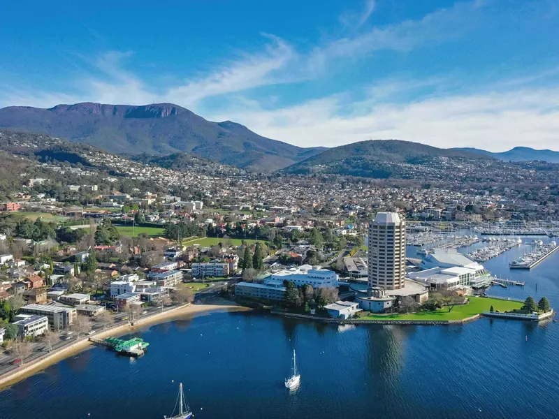
Bienvenue à Hobart, en Tasmanie ! C'est la deuxième plus ancienne capitale d'Australie, un endroit unique où l'histoire coloniale, un superbe front de mer et des paysages de montagne sauvages se rencontrent. Au cours de ce **circuit autoguidé en voiture**, nous allons découvrir les multiples facettes de Hobart. Nous passerons devant des bâtiments historiques en grès, témoins du passé pénitentiaire de l'île, longerons le port animé, découvrirons Salamanca Place et Battery Point, et suivrons la rivière Derwent à travers certains des plus beaux quartiers de la ville. En chemin, nous découvrirons des histoires d'explorateurs, de bagnards, de marins et de colons. Nous verrons aussi la plus ancienne brasserie d'Australie encore en activité, et ferons un petit détour par la station de signalisation historique de Mount Nelson pour profiter d'un panorama exceptionnel. Et puis, nous gardons le meilleur pour la fin. Nous laisserons la ville derrière nous pour grimper à travers les forêts de Wellington Park, en suivant la route sinueuse jusqu'au sommet de kunanyi / Mount Wellington, à plus de 1 200 mètres d'altitude. De là-haut, si la météo est avec nous, vous aurez une vue incroyable sur Hobart, la rivière Derwent et tout le sud-est de la Tasmanie. Alors installez-vous confortablement, suivez le GPS et, dès que vous pouvez le faire en toute sécurité, ouvrez grand les yeux. Bienvenue à Hobart. C'est parti pour l'aventure !

25 places27.1 miFrench
塔斯马尼亚霍巴特自驾游:威灵顿山、萨拉曼卡与百特里角 (Chinese) - tour cover imageDriving tourMain Sites
HobartAustralia

塔斯马尼亚霍巴特自驾游:威灵顿山、萨拉曼卡与百特里角 (Chinese)

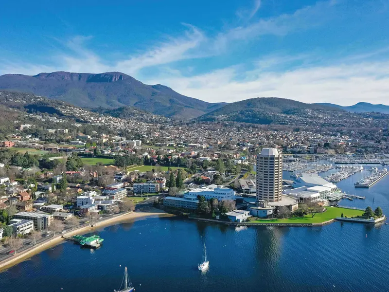
欢迎来到塔斯马尼亚的霍巴特!这里是澳大利亚第二古老的首府,一座将殖民历史、美丽海滨和壮丽山景完美融合的城市。 在这次自驾语音导览中,我们将一起探索霍巴特丰富多彩的一面。我们会途经历史悠久的砂岩建筑,了解塔斯马尼亚的流放犯历史,沿着色彩斑斓的码头前行,游览萨拉曼卡广场和百特里角,并沿着德温特河穿过霍巴特一些最美丽的街区。 一路上,我们会听到探险家、流放犯、水手和早期定居者的故事,看到澳大利亚现存最古老的啤酒厂,还会前往历史悠久的尼尔森山信号站,欣赏那里的美丽景色。 然后,我们把最精彩的留到最后。 我们将告别市区,穿过威灵顿公园的森林,沿着蜿蜒的山路一路向上,直达海拔1200多米,也就是大约4000英尺的库纳尼/威灵顿山山顶。如果天气晴朗,您将在那里欣赏到霍巴特、德温特河以及塔斯马尼亚东南部的壮丽全景。 现在,请坐好,跟随导航指引,安全驾驶,同时别忘了欣赏沿途的美丽风景。 欢迎来到霍巴特,让我们出发吧!

25 places27.1 miChinese

Log in or create your UCPlaces account

or continue with

By continuing you agree to the Terms of Service and Privacy Policy.