

Billings Best: Self-Guided Driving Tour of Iconic Montana Sites
About this English self-guided 1h:20m driving tour in Billings
Welcome to Billings, Montana — the “Magic City,” a nickname it earned back in the 1880s when the town seemed to appear almost overnight. With the arrival of the Northern Pacific Railroad, what was once open prairie suddenly filled with streets, stores, and saloons — a boom so fast that locals said it grew as if by magic. And that name stuck!
I’m your UCPlaces guide, and together we’re going to explore the very best of Billings — from its historic downtown landmarks to its grand old homes, quiet parks, and dramatic river views. We’ve carefully designed this route to show you not just the sights, but the spirit of this remarkable city — where frontier history meets modern Montana charm.
Along the way, you’ll pass icons like the Northern Hotel, once the social hub for railroad travelers and visiting presidents; the Moss Mansion, an architectural masterpiece built in 1903 that tells the story of Billings’ early prosperity; and the Best Western ClockTower Inn, a local landmark that’s home to one of the city’s favorite breakfast spots.
We’ll also cruise through tree-lined neighborhoods that reveal how Billings evolved from a railroad outpost into Montana’s largest and most vibrant city. You’ll cross the Yellowstone River, the lifeblood of this region, and eventually reach our grand finale — Pictograph Cave State Park, where ancient rock art offers a window into thousands of years of human history.
Make sure to follow the navigation closely — we may loop around a few times to capture the best views, but that’s part of the experience. So sit back, relax, and get ready to see Billings as few ever do — through its stories, its people, and its magic.
Let’s begin our journey through Billings — Montana’s Magic City!
- 1For the best experience, begin at the tour's recommended starting point and follow the stops in order.
- 2Want to start somewhere else? Simply use Start At on the tour screen, before tapping Start Tour, to begin from any stop.
- 3Need to detour or skip a stop along the way? Tap Tour Assistant (
![UCPlaces AI Bot Icon]() ) to use Force Play, Skip, and Back, for full flexibility.
 ) to use Force Play, Skip, and Back, for full flexibility.
Route Preview
- Category
- Language
- Mode
- Region
- Country
- City

Places (POIs) visited during this tour

RG39+3P, Billings, MT 59105, USA
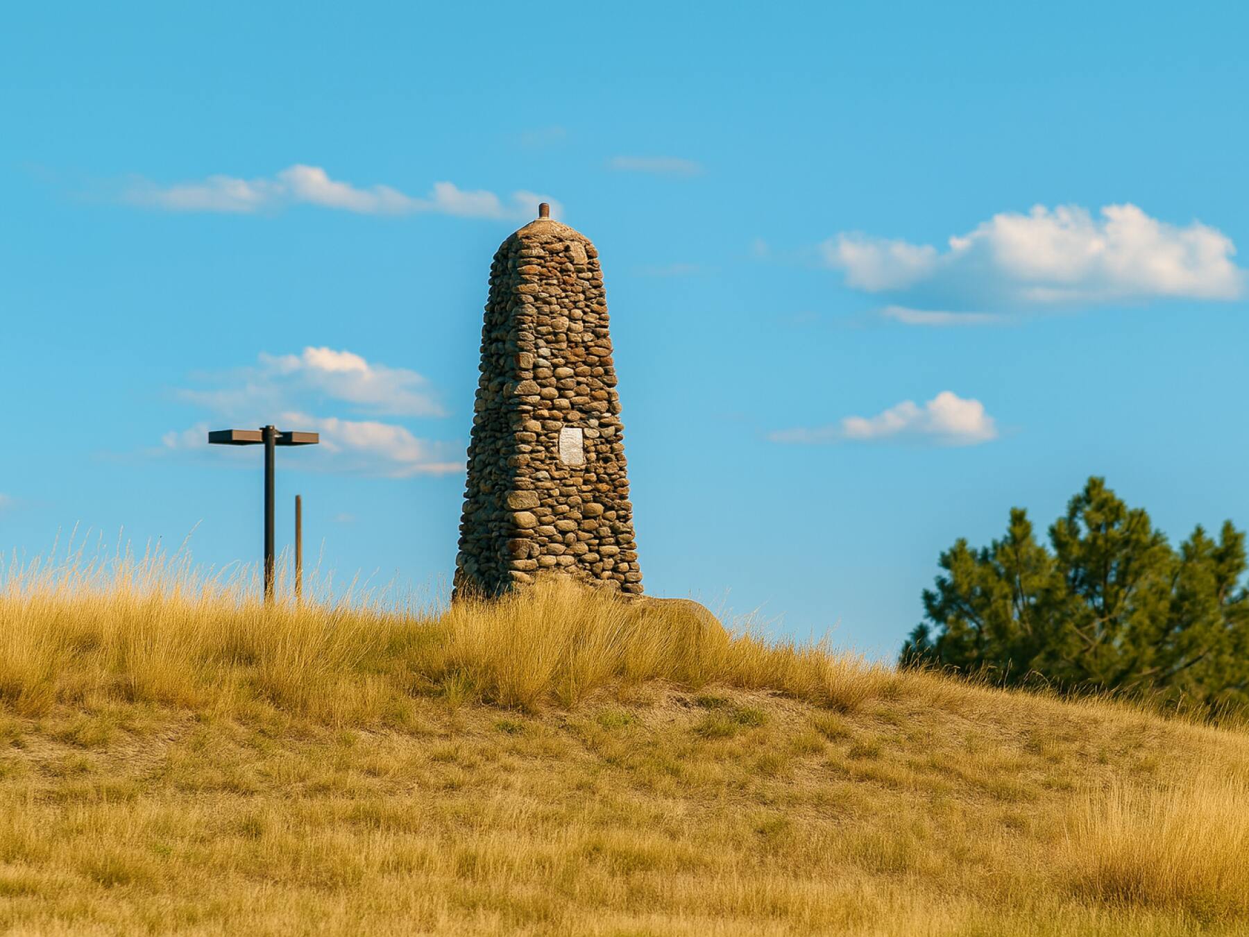
One of the most remarkable people buried here is H.M. “Muggins” Taylor, a scout and frontiersman whose quick action became part of American history. In June of 1876, Taylor was serving as a courier when he stumbled upon survivors of the Battle of the Little Bighorn, where General George Armstrong Custer and his men had been defeated. Taylor rode for miles through rugged country to carry that news — the first word of Custer’s defeat — back to the telegraph office in Bozeman, Montana. His message spread across the nation, shocking the country and shaping the way history would remember that battle.
The stone monument ahead, built in the early 1900s, honors Taylor and all the settlers, soldiers, and pioneers who helped build this region. From this hilltop, you can see the Yellowstone River and imagine the days when this was still a lawless outpost — a time when courage, grit, and a fast horse could change the course of history.
Read More
Swords Park, Swords Park, Swords Park Dr, Billings, MT 59105, USA
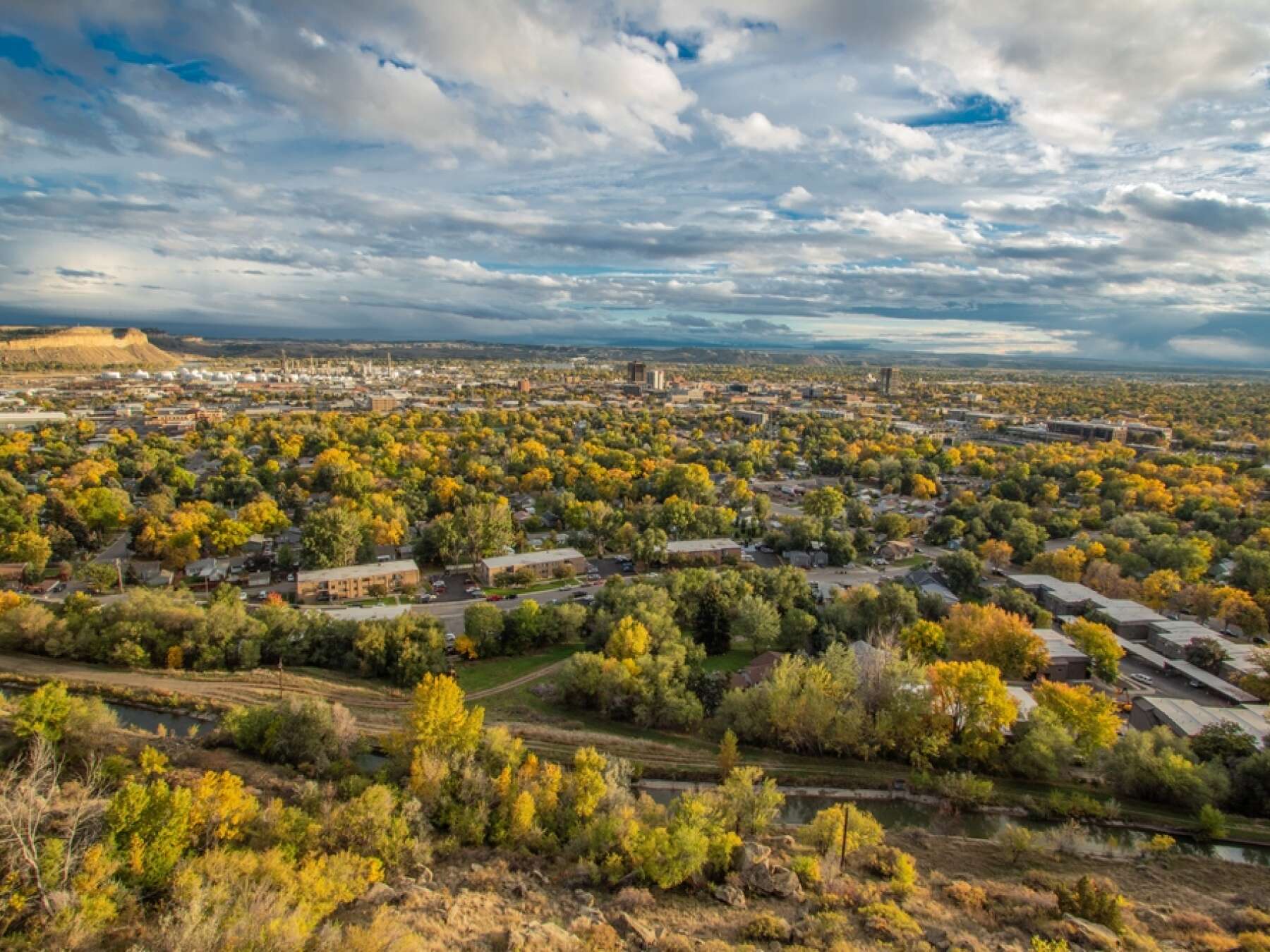
This is a one-way-in, one-way-out drive, so we’ll follow the same road back after reaching the end of the loop later on your right. Just follow the navigation and take your time — this is all about the view.
The park is named after Nelson Story and the Swords family, early settlers who helped shape the Billings community. But the road you’re on — Chief Black Otter Trail — honors a revered Crow tribal leader who lived in this region long before the city existed.
There are several scenic overlooks along this stretch, and each one gives a slightly different view of the valley, the river, and even the distant Beartooth Mountains on a clear day. It’s a favorite local spot for sunset walks, morning runs, or just sitting quietly to take in the vast Montana sky.
The views from the rim are truly spectacular and give you a sense of how wild and wide this land once was.
Read More
Place 1
Historic Boothill Cemetery
Place 2
Swords Park Rimrock Views
Place 3
MSU Billings Campus
Place 4
Dehler Baseball Park
Place 5
North Park — Billings’ Classic Green Heart
Place 6
Yellowstone Art Museum — Creativity at the Edge of the Rimrocks
Place 7
Alberta Bair Theater and the Historic Masonic Temple
Place 8
Billings Public Library and Far West Gallery
Place 9
Montana Avenue — The Historic Heart of Billings
Place 10
Billings Depot
Place 11
Best Western ClockTower Inn
Place 12
Northern Hotel
Place 13
Moss Mansion Museum
Place 14
I.D. O’Donnell House
Place 15
Fratt-Link House
Place 16
On Our Way to the Yellowstone River Crossing
Place 17
Lake Josephine
Place 18
Crossing the Yellowstone River
Place 19
Billings Fun Facts
Place 20
Pictograph Cave State Park