Sign up Login Sign Up Create a Tour

Explore 406 UCPlaces digital self-guided tours in English

406 tours

Explore the World with Self-Guided GPS Audio Tours in English

Discover the freedom of travel with self-guided GPS tours - the perfect way to explore iconic destinations on your terms. Whether you’re taking a road trip and driving along scenic routes, strolling through historic neighborhoods and beautiful cities, or cycling through breathtaking landscapes, these tours offer unparalleled flexibility. Available for driving, walking, and biking, GPS-led self-guided tours put you in control, letting you travel at your own pace and according to your schedule and offering you full flexibility. Unlike traditional guided tours, there’s no need to schedule in advance, to stick to a fixed itinerary or keep up with a group. Pause whenever you want to snap photos, grab a bite, or simply take in the scenery. With GPS technology navigating you, you won't get lost and you won’t miss any must-see landmarks or hidden gems along the way.

Self-guided tours also offer a cost-effective way to explore. They’re often more affordable than private or group tours, without compromising the quality of the experience. Plus, many tours are available in multiple languages, making it easy for travelers to navigate and learn in their preferred language.

Whether you’re embarking on a solo journey, traveling with family or friends, planning a romantic getaway, or even taking a break during a business trip, these tours cater to all types of adventurers. Best of all, they combine the convenience of technology with the joy of discovery, giving you the freedom to create a personalized experience.

Start your adventure today and experience the world your way!

Heraklion to Matala, Crete: From Empires to Flower Power GPS Self-Guided Driving Tour - tour cover imageDriving tourMain Sites
HeraklionGreece

Heraklion to Matala, Crete: From Empires to Flower Power GPS Self-Guided Driving Tour

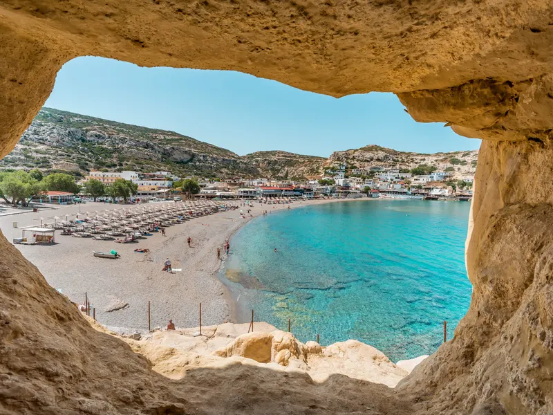
Kaliméra, and here we go! Our drive across Crete begins. We start on the Venetian walls of Heraklion, on the island's north coast. Up on these walls lies Nikos Kazantzakis, the writer who gave the world Zorba the Greek. His grave reads: "I hope for nothing. I fear nothing. I am free." Over the next 89 kilometers, about 55 miles, we'll cross the island to Matala, on the Libyan Sea. In the 1960s, hippies lived in Matala's ancient cliff caves, and Joni Mitchell wrote her song "Carey" there. Between the two, we'll pass Knossos, the palace behind the legend of the Minotaur. It gave its name to a whole civilization, the Minoans. Then the road drops into the Messara, Crete's great southern plain, where Romans ruled from Gortyn and Minoan kings built Phaistos. Along the way, we'll meet kings and saints, rebels and poets. Crete's stories never stay in one century. Narration plays by itself as you reach each place, and you'll hear a short direction before each turn. Village streets are narrow and winding, so take your time. Kaló taxídi, which means have a good trip. Let's go!
17 places2h 08m55.3 miEnglish
Rethymno to Preveli, Crete: Heart of Crete GPS Self-Guided Driving Tour via Arkadi & Amari Valley - tour cover imageDriving tourMain Sites
RethymnoGreece

Rethymno to Preveli, Crete: Heart of Crete GPS Self-Guided Driving Tour via Arkadi & Amari Valley

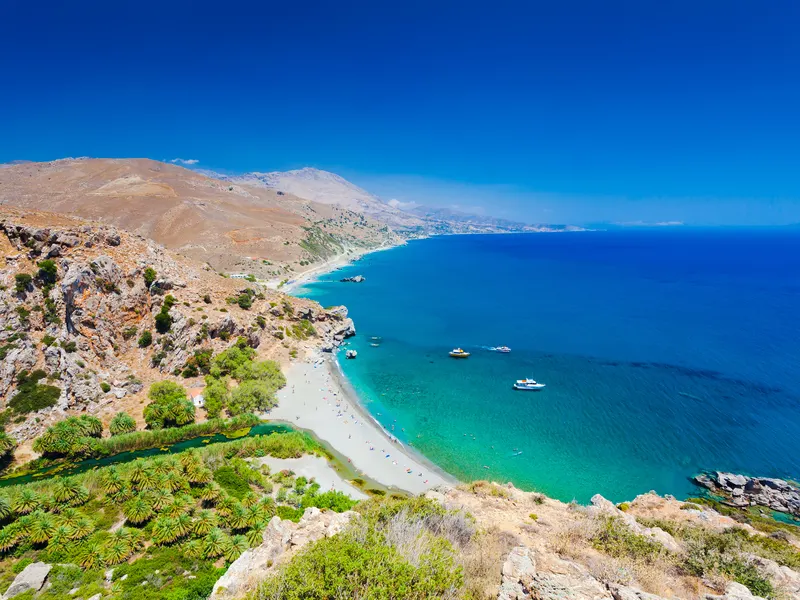
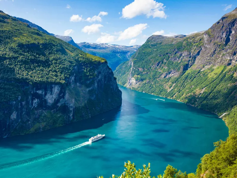
Kalimera, and here we go! Our drive across the heart of Crete begins. We start on the seafront of Rethymno, on the island's north coast. Above the old town stands the Fortezza, the great Venetian fortress that Cretan workers were forced to build in the 1570s, after pirates burned the city. Over the next 75 kilometers, about 47 miles, we'll cross Crete to Preveli, above the Libyan Sea. There, in 1941, monks hid Allied soldiers from the Germans, and a submarine slipped in at night to carry them to safety. Between the two, we'll reach Arkadi, the monastery whose defenders chose to blow up their own powder store rather than surrender in 1866. Then we drop into the green Amari valley under Mount Ida, the island's highest peak, stop by the lion fountains of Spili, and drive down through the dramatic Kourtaliotiko gorge to the sea. Along the way you'll meet rebels, monks, musicians and one kidnapped German general. Narration plays by itself as you reach each place, and you'll hear a short direction before each turn. The mountain roads are narrow and winding, so take your time. Kaló taxídi, which means have a good trip. Let's go!
16 places2h 08m46.7 miEnglish
Kissamos to Elafonisi, Crete: West Coast Road Trip (Self-Guided Driving Tour) - tour cover imageDriving tourMain Sites
KissamosGreece

Kissamos to Elafonisi, Crete: West Coast Road Trip (Self-Guided Driving Tour)

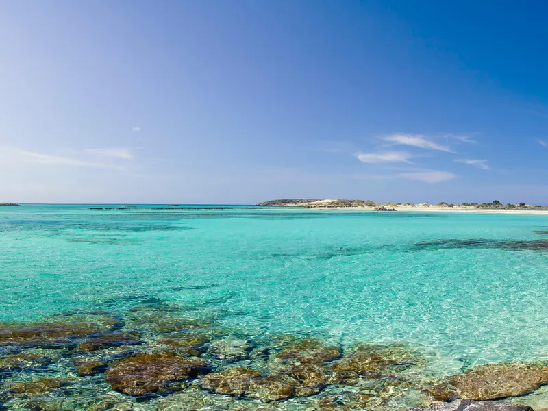
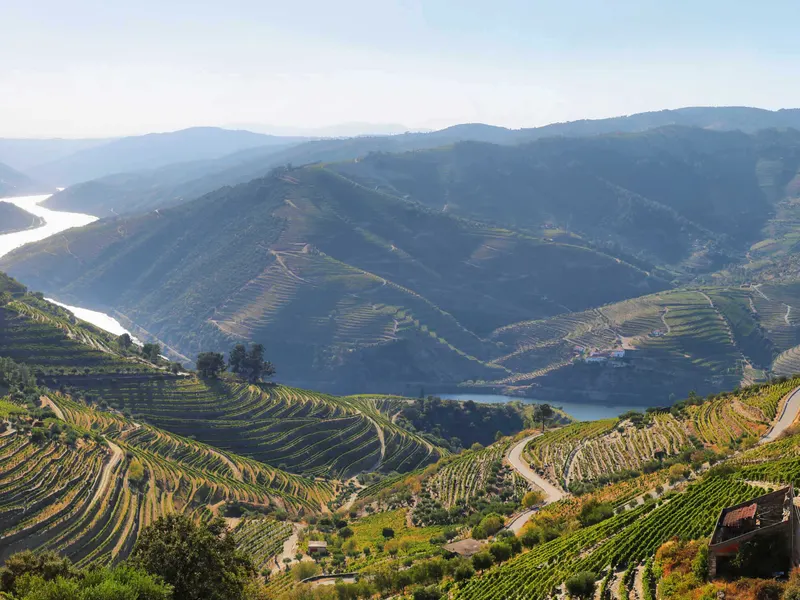
Here we go! Our road trip down Crete's rugged west coast begins. We're starting on the seafront of Kissamos, in the far northwest corner of Greece's largest island. Over the next 40 miles, about 65 kilometers, we'll drive all the way to Elafonisi, a lagoon of pink sand at the island's southwest tip. Along the way, you'll meet pirates who ruled from an island fortress, and an ancient harbor that an earthquake lifted clean out of the sea. It's stranded in a field today. You'll hear how sponge divers off these coasts found a 2,000-year-old bronze computer. Keep an eye out for Crete's wild goats on the cliffs. And at the end, we'll visit a monastery with a golden step that, legend says, only the faithful can see. There's time for a swim, too. Falassarna and Elafonisi are two of the finest beaches in Greece. The stories play by themselves as you reach each place, and a short direction comes before every turn. The roads are narrow and winding, so take your time and enjoy the views. Kaló taxídi, which means have a good trip. Let's go!
17 places1h 54m40.6 miEnglish
Geiranger to Trollstigen, Norway: Eagle Road Views & Trollstigen Hairpins — Self-Guided Driving Tour (Summer Only) - tour cover imageDriving tourMain Sites
GeirangerNorway

Geiranger to Trollstigen, Norway: Eagle Road Views & Trollstigen Hairpins — Self-Guided Driving Tour (Summer Only)

Welcome to the Geiranger to Trollstigen drive, a summer-season road trip of about eighty-five kilometres, or 53 miles, plus a short ferry crossing, from Geiranger Fjord to Åndalsnes. We'll follow road 63, a Norwegian Scenic Route: up the Eagle Road, across the Norddalsfjord on the Eidsdal to Linge ferry, through the Valldal valley and over Trollstigen, then down to Åndalsnes. The ferry crossing takes about thirteen minutes, with departures generally every half hour during the day, although some gaps are longer. No advance booking is needed or available—simply join the vehicle queue and follow the crew’s instructions. Summer queues can mean waiting for a later sailing, so allow some flexibility and check the current FRAM timetable before travelling. Trollstigen is a seasonal mountain road. Opening and closing dates depend on snow, weather and safety work, including rockfall measures. Check the road status with the Norwegian Public Roads Administration before setting off. Allow about three hours of travel, plus any ferry waiting time, or a full day with stops. Set up the tour while parked, drive on the right, let a passenger handle the phone, and stop only in marked parking areas. Take your time—this is a journey to enjoy, one spectacular view at a time.

16 places3h 00m54.6 miEnglish
The Ultimate Douro Valley Drive, Portugal: Régua to Vila Nova de Foz Côa — Vineyards & River Roads Self-Guided Driving Tour - tour cover imageDriving tourMain Sites
Peso da RéguaPortugal

The Ultimate Douro Valley Drive, Portugal: Régua to Vila Nova de Foz Côa — Vineyards & River Roads Self-Guided Driving Tour

Hi, and welcome to the Douro Valley. I'm your guide for today's drive, and I'm glad you're here. Over the next few hours we'll follow one of the most beautiful rivers in Europe. Its steep hills were shaped by hand into terraces of vines, all for one famous wine: port. We start here in Peso da Régua, the old capital of the wine trade. First we'll pass the house where a government drew the world's first legal wine border. Then we'll follow the N222 along the south bank, a road once ranked the best drive on earth. On the way, a railway that changed the valley runs along the far bank. At Pinhão, a little station tells the whole harvest in 3,000 blue tiles. From there we climb into the hills through vineyard villages, then drop back to the river at Foz Tua, where 2 rivers and 2 railways meet. After that comes the wild part. We'll pass the Valeira Dam, where the most feared rapids on the Douro once smashed boats. From the viewpoint high above, I'll tell you about a mapmaker who drowned there, and the woman who floated to safety. Then the land turns hotter and drier. Almond trees replace vines, and our story reaches back long before wine. We finish at the Côa Museum, home to horses carved into stone during the Ice Age. A group of school kids saved them from a dam. A few tips before we go. These roads are narrow and full of bends, so take them slowly, and pull over fully before stopping for photos. Some villages have only a café or two, so fuel up and grab water before you leave Régua.

25 places80.9 miEnglish
Gjirokastër to Berat, Albania: Castles, Ancient Legends & Two UNESCO Cities — Self-Guided Driving Tour - tour cover imageDriving tourMain Sites
GjirokastërAlbania

Gjirokastër to Berat, Albania: Castles, Ancient Legends & Two UNESCO Cities — Self-Guided Driving Tour

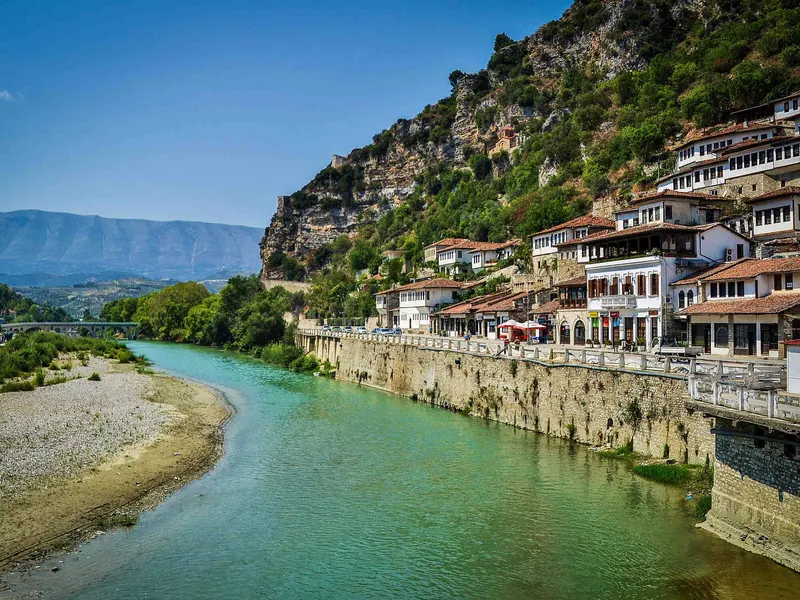
Listen to this introduction while legally parked, before you start driving. Welcome to a journey from Gjirokastër to Berat: two UNESCO cities, castles, and the heart of Albania. This one-way drive connects two extraordinary historic cities through the river valleys and working landscapes between them. Along the way, we will meet Ali Pasha and Lord Byron, remember families interned near Tepelenë, and explore the human stories behind coal towns, olive growing, oil production, and rural markets. Before setting off, consider exploring Gjirokastër’s heritage uphill. Its citadel, old bazaar, and distinctive tower houses belong to the historic city above our lower-road starting area. Those are optional visits before departure, not streets this driving route will take you through. Allow separate time for any interiors, admission tickets, and walks. Viroi, a spring-fed lake north of the city, is another optional visit idea. Its water is concealed from our driving approach; there is no lake detour in this tour. Begin on the paved lower approach toward the main road only when you are ready to drive safely. Our starting point is not reserved parking. Use the tour’s live map and let the audio accompany your journey; the driver should leave phone handling to a passenger or pull over legally first. Some chapters explain places away from the road. We will say so rather than promise views that are not there. Do not stop on the carriageway to search for a landmark or photograph. We finish on a public riverside road in Berat, near signed paid parking. Parking availability and current entry rules must be checked independently. Exploration of the old neighborhoods and castle follows separately, once you are safely parked. Let us begin: from one city of stone to another, through the heart of Albania.

20 places2h 05m87.6 miEnglish
Tirana, Albania: Hidden History, Colorful Streets & a City Reborn — Self-Guided Walking Tour - tour cover imageWalking tourMain Sites
TiranaAlbania

Tirana, Albania: Hidden History, Colorful Streets & a City Reborn — Self-Guided Walking Tour

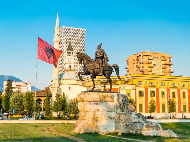
Welcome to Tirana, a capital where Ottoman landmarks, grand political architecture and bold new ideas share the same streets. On this outdoor walking tour, we’ll explore the city at human scale: a painted mosque, a bridge whose river changed course, traces of surveillance and isolation, and places that have found surprising new lives. We begin near the House of Leaves and Resurrection of Christ Cathedral, then make our way through the historic center, across the Lana and into the story of the Pyramid and Blloku. Our walk ends at Mother Teresa Square. Follow the live map as you walk. GPS-triggered stories will play automatically as you reach their locations. Take a comfortable pace, and pause in a safe pedestrian space whenever you want more time with a story or a view. At street crossings, follow the current signals and signs, and keep enough attention on your surroundings to hear approaching traffic. This is an outside exploration. Museum visits are optional and separate; the National Historical Museum’s interior is currently closed for renovation. Ready to meet the city behind the monuments? Let’s discover how Tirana has continually remade itself, without leaving all its earlier lives behind.

12 places1h 12m2.4 miEnglish
Cluj-Napoca, Romania: Kings, Hidden Streets & Transylvanian Stories (Self-Guided Walking Tour) - tour cover imageWalking tourHistorical
Cluj-NapocaRomania

Cluj-Napoca, Romania: Kings, Hidden Streets & Transylvanian Stories (Self-Guided Walking Tour)

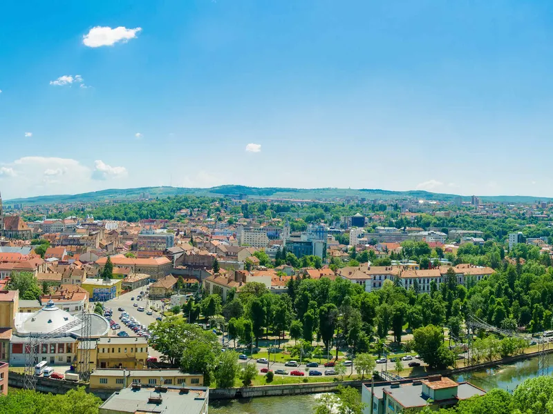
Cluj-Napoca is Transylvania's liveliest city: a Roman town, a royal Hungarian Kolozsvár, a German-speaking Klausenburg and a modern Romanian university city, all layered on the same streets. This walk follows those layers through real stories. You'll meet a king born a few lanes from the main square, guilds that defended the city walls, a tower that watched over the rooftops, and a trial that turned a petition into a national cause. Along the way you'll see Gothic and Baroque churches, a theatre where history changed the cast, a Belle Époque park and its lake. The tour ends on Cetățuia, the hill of the Habsburg citadel, with a view across the city. Interiors are optional and their opening hours vary, so check official websites. The final climb uses stairs and sloping paths. Check for barriers or unsafe conditions before continuing; the tour also offers an earlier finish in the park. Some chapters are best enjoyed while standing still, so pause to listen before moving to the next stop.

22 places2h 15m4.0 miEnglish
Cairo, Egypt: Self-Guided Walking Tour of Historic Islamic Cairo, Al-Muizz Street & Khan el-Khalili - tour cover imageWalking tourHistorical
CairoEgypt

Cairo, Egypt: Self-Guided Walking Tour of Historic Islamic Cairo, Al-Muizz Street & Khan el-Khalili

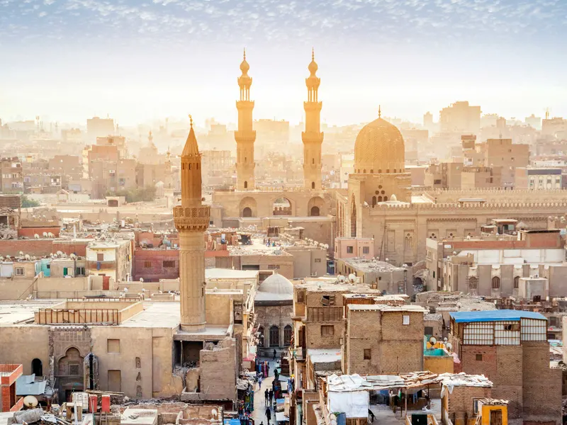
Explore the old city of Cairo on this GPS-guided, self-guided audio walking tour of Historic Islamic Cairo, a UNESCO World Heritage Site. Walk the full length of Al-Muizz Street, often called the world's greatest open-air museum of Islamic architecture, from the Fatimid gate of Bab Zuweila to the northern walls at Bab al-Futuh and Bab al-Nasr. Discover how a palace city founded in 969 became the heart of Cairo, and how Fatimid, Ayyubid, Mamluk and Ottoman rulers each left their mark. Stand before Mamluk masterpieces like the Qalawun complex with its medieval free hospital, a Gothic doorway taken from a Crusader church, the moonlit façade of Al-Aqmar, and the hidden courtyard house of Bayt al-Suhaymi. Hear the stories of a queen who hid her husband's death to win a war, a caliph who banned molokhia and vanished into the hills, a sultan whose grand tomb stayed empty, and French soldiers who carved names into medieval gates. Walk through Naguib Mahfouz's childhood neighbourhood in Gamaliya, pass the shrine of Al-Hussein, and lose yourself in the lantern-lit lanes of Khan el-Khalili. Finish with mint tea at El Fishawy, the legendary mirrored café that has welcomed generations of Cairenes. In Islamic Cairo, sidewalks are often narrow, uneven, or blocked by parked cars and shop displays. Because of this, people often walk along the edge of the street, close to traffic. Watch your step, stay alert, and take your time, and you'll be fine. About 3 km: roughly 1 hour 10 minutes of pure walking, and around two hours with listening time, fully self-guided at your own pace.

18 places1h 10m1.7 miEnglish
Albania Coastal Drive: Self-Guided Driving Tour from Sarandë to Ksamil & Butrint - tour cover imageDriving tourMain Sites
SarandëAlbania

Albania Coastal Drive: Self-Guided Driving Tour from Sarandë to Ksamil & Butrint

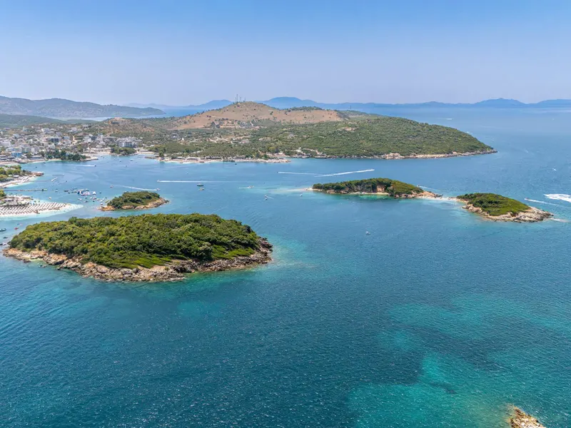
Follow Albania’s Ionian coast from Sarandë through Ksamil to UNESCO-listed Butrint. Discover hilltop history, island scenery, and Lake Butrint before exploring the ancient city on foot. Travel south from Sarandë to one of Albania’s most remarkable archaeological landscapes. This self-guided driving tour follows the main coastal road through Ksamil to the entrance of Butrint Archaeological Park. Along the way, discover the ancient port behind modern Sarandë, the monastery that gave the city its name, Saint George’s hilltop setting, and the coves around Mirror Beach. Ksamil brings a different rhythm: small offshore islands, beach life, and a landscape once known for citrus growing. Beyond town, Lake Butrint introduces the working lagoon and its mussel farms before the ancient city comes into focus. The drive is approximately 16 kilometres. Allow around 30–60 minutes depending on traffic, plus two to three hours to explore Butrint on foot and extra time for any independently arranged beach break. The route stays on the main road: it does not drive to beach entrances, climb to Lëkurësi Castle, or cross the Butrint ferry. Beach and monastery visits are separate outings, not mandatory routed detours. Check current entry arrangements for Butrint before departure. Start: Load the tour before departure while legally parked at an authorized location. When ready, join Rruga Butrinti heading southeast/south toward Ksamil. The tour starts as you pass its road anchor on the eastern Sarandë waterfront. Do not stop at the start pin or in a traffic lane to operate the guide. Finish: The driving tour ends at the entrance parking area for Butrint Archaeological Park, before the ferry. Follow current visitor-parking instructions and explore the ruins on foot. Do not cross the ferry as part of this tour.

16 places28 min10.1 miEnglish

Log in or create your UCPlaces account

or continue with

By continuing you agree to the Terms of Service and Privacy Policy.